

Pico de las Nieves - Ayagaures

Description
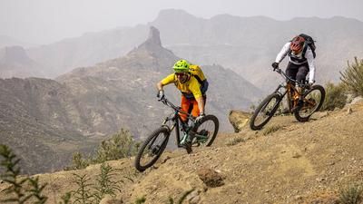
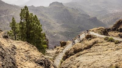
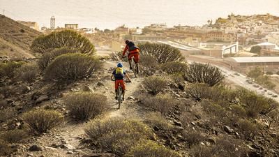
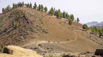
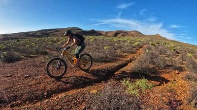
The best way to get up to Pico de las Nieves (1949 meters above sea level) is to take a larger cab or a bike shuttle. In this case, the starting point is the tourist metropolis of Maspalomas, from where you can already see the transmission antennas on the Pico. The shuttle ride takes about an hour. After taking in the view and the extraordinary landscape of pine forests and rock formations at the top, it's time for the descent. And this begins immediately on the crisp tour. The start is rough, but soon becomes smoother. You follow the ridge and a little later descend steeply to Cruz Grande, where you cross the road. This is followed by a section of gravel road ascent, at a pass you change to a singletrail on the left and follow this through the open pine forest. Finally, you reach another gravel road and follow it through the Pilancones Nature Park. Watch out for the turn-off to the right. This is where the next trail begins, a super trail, rarely steep, flowing and varied. After a short intermediate section on a gravel road, the trail becomes rougher, rockier but still great to ride. This is how you reach the two reservoirs of Ayagaures, where the only refreshment stop is. Refreshments are definitely called for here for the final stretch. Once again, you have to climb a little over 150 meters in altitude on a dusty gravel road before turning into the final stretch. A mixture of somewhat overgrown jeep paths and single trails takes you along the Vicentes Valley to the beach and the town center of Maspalomas.
Map & GPX-Track
The map is only available to Ride subscribers.
The Ride-Subscription is available at ride-mtb.com/abo
.
Details of the tour
38 km
360 m
2270 m
11 above sea level
1938 above sea level
1 day
Maspalomas
Maspalomas
2673
well suited
More information
More tours nearby




User comments (2)

About the author: Thomas Giger
Note: This content has been automatically translated from German. Please report any incorrect translations.
Great trail with a beautiful panorama. The Diabolo section is a bit of a handful but well worth it. We did the last part once, the turn-off to the right from the gravel road into the valley wasn't really fun. The return trip rides over a long section of a stream with larger stones, which was quite awkward and put a damper on the finish.
There is no consensus on the ban here. Himar Sanchez (Dhguidecanarias) is in constant contact with the authorities and they don't know themselves. In the year 23, they started putting up no-trail signs everywhere, which then turned out to have no legal basis at all.
Really great trail, but: We were stopped by an official trail maintenance team with the unbelievable claim that mountain biking is forbidden on the whole of Gran Canaria! This was on the Diabolo section. They then claimed that there was a 6! meter rule. 6 meters; that's a freeway. That makes no sense and would be 3x more absurd than the 2 meter rule in Germany. They then called the police to come and fine us at the end of the Diabolo Trail. Of course, they didn't really show up. But the question remains: is there anything to this ban? We have spoken to others who claim to have heard similar things. I can't find anything on the Internet.