

Sendero Quico el Caminante

Description
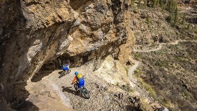
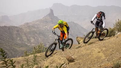
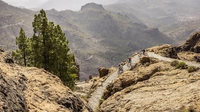
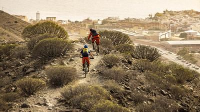
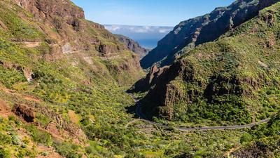
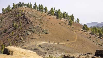
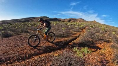
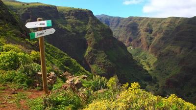
From the center of San Bartolomé, you climb a total of 350 meters in altitude on the road to Cruz Grande. If you want, take the bus. Bus 18 will take bikes if there is enough space. At Cruz Grande, you continue to climb for a short time on a gravel road until the trail begins at Degollada del Dinero. This stony but flowing and varied trail winds its way through the open pine forest. There are also a few crisp climbs to be expected from time to time. In this way you finally reach the Degollada del Sordo, where the Sendero Quico el Caminante is on the left. This super trail hugs the steep terrain and gives you a great view into the nature park. The trail is not an official hiking trail and is therefore slippery in places, which leads to a few meters of pushing. However, this does not detract from the fun of the ride, as the path is a real joy. Finally, you reach the Los Helechos pass, where there are a few more meters of singletrack on the left until you finally reach the gravel road, on which you then ride almost 15 kilometers over and up to the Degollada de la Manzanilla. It is an exceptionally impressive gravel road that always leads over rocky cliffs through the open forest - a real landscape experience! The Degollada de la Manzanilla is finally the starting point for the final descent back to San Bartolomé. Initially rough and tricky, the descent then becomes smoother and faster until you reach the first farms of San Bartolomé. From here, the last few meters are a leisurely roll on asphalt back to the town center.
Map & GPX-Track
The map is only available to Ride subscribers.
The Ride-Subscription is available at ride-mtb.com/abo
.
Details of the tour
35 km
1180 m
1180 m
798 above sea level
1289 above sea level
1 day
San Bartolomé de Tirajana
San Bartolomé de Tirajana
2671
well suited
More information
More tours nearby



User comments (1)

About the author: Thomas Giger
Note: This content has been automatically translated from German. Please report any incorrect translations.
A very scenic tour.
The trail was rather mediocre.
There was no obvious path on the carry/push part and the slope was very steep and difficult to walk on.
Trail is relatively much on gravel roads