

Pico de las Nieves - Fataga

Description
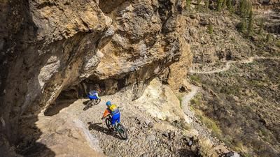
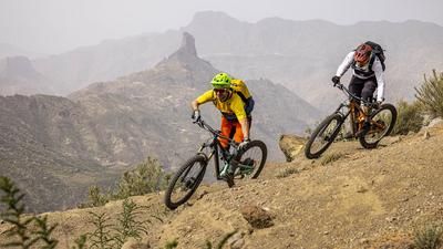
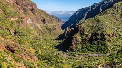
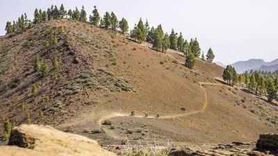
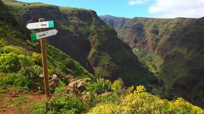
The best way to get up to Pico de las Nieves (1949 meters above sea level) is to take a larger cab or a bike shuttle. In this case, the starting point is the tourist metropolis of Maspalomas, from where you can already see the transmission antennas on the Pico. The shuttle ride takes about an hour. After taking in the view and the extraordinary landscape of pine forests and rock formations at the top, it's time for the descent. The start is a little rough, but soon becomes smoother. You follow the ridge in this way and a little later descend steeply to Cruz Grande, where you cross the road. Here you could now take the descent option via Ayagaures, but in this case we follow the racy trail down to San Bartolomé. There is a stretch of road above the village until the next trail begins at the corner. This leads down to Fatago, rough at first, but in the lower part it's like a primeval forest all the way to the village. In this picturesque village, it is worth stopping for a bite to eat and a short detour into the narrow streets of the village.
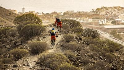
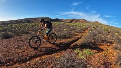
For the second part of the descent, follow the road downhill and then up a good section to the viewpoint. The road is reasonably busy and the section is therefore not a particular highlight. The reason for this downer becomes apparent after the viewpoint. A great, flowing and fun trail follows more or less parallel to the road down to the first houses of Maspalomas and forms the end of this beautiful, for once somewhat less technical descent from the summit to the south coast.
Map & GPX-Track
The map is only available to Ride subscribers.
The Ride-Subscription is available at ride-mtb.com/abo
.
Details of the tour
34 km
205 m
2125 m
9 above sea level
1938 above sea level
1 day
Maspalomas
Maspalomas
2687
well suited
More information
several options in San Bartolomé
More tours nearby




User comments (1)

About the author: Thomas Giger
Note: This content has been automatically translated from German. Please report any incorrect translations.
Bikers are not allowed on the hiking trails in some places.
The official tour operators have therefore removed the tour from the program.