

Pico de las Nieves - Guayadeque

Description
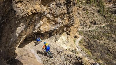
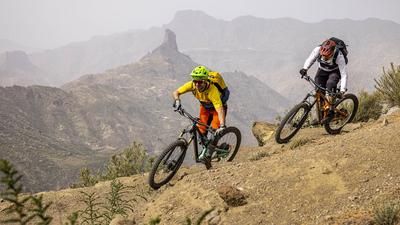
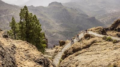
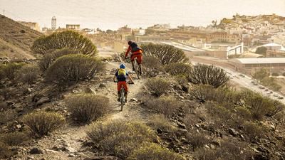
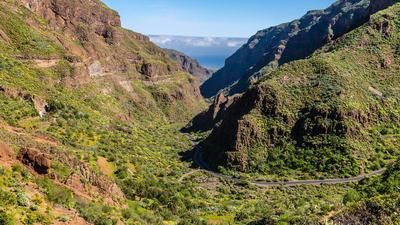
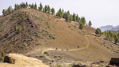
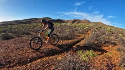
The descent takes you down to the airport on the summit of Pico de las Nieves (1950 meters above sea level), where you have previously taken a shuttle or cab. You ride around the transmitter and head into the first singletrail immediately behind it. The trail flows through the open pine forests until you see the Barranco de Guayadeque on the left, a large and impressive gorge. It forms the backdrop for the rest of the descent, which always rides down to the left above the steep cut in the terrain. The racy and varied trail rides down this way almost as far as Aguimes. Instead of riding down to the village on a gravel road, turn left beforehand and head directly down the last 150 vertical meters into the gorge on a crisp serpentine trail. The main part of the descent is now in the books and you roll over to Ingenio on a small road. It is now a good ten kilometers to the coast and you roll down to Carrizal on small roads. Here you can decide whether to head over to the neighboring airport grounds or continue down to the village of El Burrero directly on the coast.
If you are a bit clever with your planning, have your luggage brought to the airport, pack your bike in your bag after the descent and board the plane back to Europe straight after the tour. Gran Canaria airport is one of the few airports in the world with a direct connection to a singletrail descent.
Map & GPX-Track
The map is only available to Ride subscribers.
The Ride-Subscription is available at ride-mtb.com/abo
.
Details of the tour
24 km
35 m
1955 m
8 above sea level
1938 above sea level
1 day
Carrizal
Carrizal
2686
well suited
More information
No options along the route
More tours nearby



User comments (0)

About the author: Thomas Giger
Note: This content has been automatically translated from German. Please report any incorrect translations.