

Forcella Pelse
Description
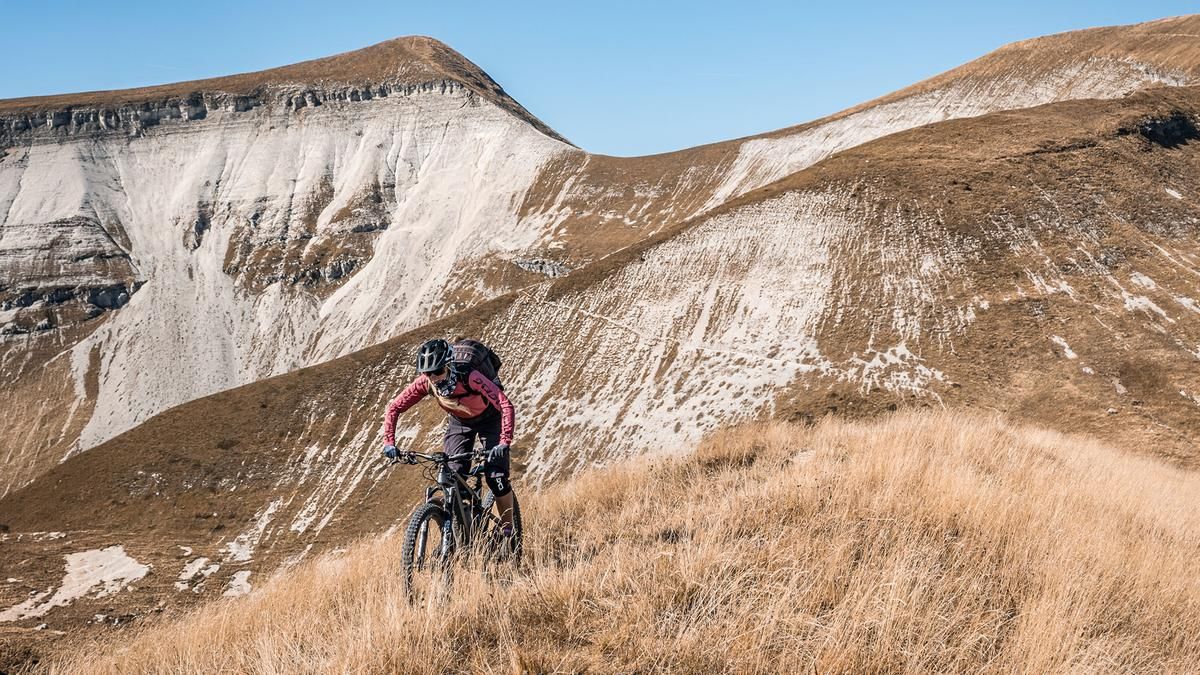
The ride starts in the Piave Valley, in the hamlet or village of Santa Giustina. From there, the route begins with a steady climb along Via Pizzocco before heading into the Val Canzoi, far from the hustle and bustle. The climb is mostly on asphalt, but after passing Lago della Stua—a very idyllically situated mountain lake—it transitions into a fairly steep uphill section. This section runs entirely along an old cart track or mule path. At times, the trail is relatively easy to ride, but in some sections it is very strenuous due to the loose gravel. Passing Malga Erera, which is a great spot for a break, the route continues along the old mule track to Forcella Pelse, the highest point of the tour. Nestled in the Belluno Dolomites, you find yourself far from civilization and immersed in a secluded mountain world.
Then the descent to the north begins. With difficulty ratings of S2 and S3, the route descends from just under 1,800 meters above sea level down to 700 meters above sea level to the small village of Pattine. In the upper section, the trail runs over limestone and gravel as well as through forested areas, though the beech forests should not be underestimated in terms of the traction provided by the ground. Once you reach the Torrente Mis, you’ll ride along the Strada Provinciale della Valle del Mis, which features some very scenic sections, until you reach the Lago del Mis reservoir. In the northern section, you’ll find the Cadini del Brenton, a natural gorge with impressive swimming spots, and the Soffia Gorge. At the end of Lago del Mis, there is a short trail shortcut before you roll leisurely back to the starting point.
In summary, this is a very long and impressive ride that can also be completed on an e-mountain bike with sufficient battery capacity.
Map & GPX-Track
The map is only available to Ride subscribers.
The Ride-Subscription is available at ride-mtb.com/abo
.
Details of the tour
55 km
1880 m
1180 m
298 above sea level
1867 above sea level
1 day
Santa Giustina
Santa Giustina
3735
well suited
More information
More tours nearby




User comments (0)

About the author: Martin Depauli
Note: This content has been automatically translated from German. Please report any incorrect translations.