

Monte Piz
Description
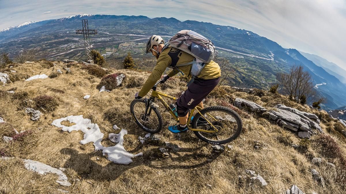
The ride starts in the small hamlet of Meano. From there, the route follows paved side roads toward San Gregorio nelle Alpi. Just before reaching this town, turn right and pedal steadily uphill until the road becomes significantly steeper and eventually turns into a gravel path heading toward Casera Ere. The climb here is particularly inviting and impressive in the spring when vegetation is sparse, as the panoramic view of the Piave Valley offers striking contrasts.
At just under 1,300 meters above sea level, you’ll reach the Rifugio Casera Ere, where the rideable section ends. During opening hours, it’s a great spot to stop for a break. There are essentially two routes to the summit: the “Direttissima” from the Rifugio to the summit, which is extremely alpine and exposed, or the alternative hiking trail shown in the GPX track. This route involves carrying your mountain bike on your back as you wind your way through striking rock faces and over a few somewhat exposed sections up to the high plateau, where you should leave your mountain bike. Carrying the bike for the final few meters to the summit of Monte Piz is generally feasible, though it offers only a few meters of trail riding. At the highest point of the ride, the view is truly breathtaking, offering a panoramic vista across Veneto and Friuli all the way to the Mediterranean Sea.
The descent then begins. It can be classified as difficulty level S3 to S4. Though not too challenging at first—though a solid hairpin turn technique is required here—the trail descends steadily before reaching a drinking water source. From there, you’ll need to push your bike for about 20 to 30 units of elevation loss, as the path has collapsed in places. Further on, the trail becomes smoother and more rideable again, leading downhill at difficulty levels S2 to S3—at times very steeply—along the gravel ascent route. You cross the ridge of Monte Piz again heading east and finally take the so-called “Green Ring Trail,” which leads very smoothly directly to the valley floor. The loop finally ends in Meano.
Map & GPX-Track
The map is only available to Ride subscribers.
The Ride-Subscription is available at ride-mtb.com/abo
.
Details of the tour
26 km
1350 m
1350 m
306 above sea level
1572 above sea level
1 day
Meano
Meano
3736
not suitable
More information
More tours nearby




User comments (0)

About the author: Martin Depauli
Note: This content has been automatically translated from German. Please report any incorrect translations.