

Monte Corona

Description
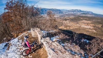
The tour starts in Nave San Felice. The ascent begins in the small town directly on the Adige. Mostly on asphalt at the beginning, the route climbs up typical Adige Valley slopes in a relaxed manner and you arrive in the village of Ville and subsequently in the village of Masen. The uphill changes from here. You switch from asphalt to gravel, with the path becoming steeper and steeper until you reach the highest point at 1035 meters above sea level. Monte Corona is located here. It's worth rolling up to the viewpoint, as the view here is magnificent when the air is dry, especially in spring and fall.
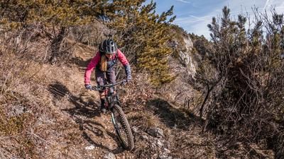
Now it's time for the downhill trail. Difficulty S1, occasionally S2, can be declared here. The so-called Werewolf Trail descends to around 750 meters above sea level. Then a crisp uphill before you take the Santa Claus Trail and emerge at the same altitude in Serci in an inhabited area. You briefly roll down the plateau and take the last trail, the so-called Anosi Trail, which leads down to Doss dei Furli and then back to the starting point.
Conclusion: All in all, a fun tour that is particularly attractive in spring and autumn and can also be perfectly completed on an e-mountainbike.
Map & GPX-Track
The map is only available to Ride subscribers.
The Ride-Subscription is available at ride-mtb.com/abo
.
Details of the tour
25 km
1040 m
1040 m
226 above sea level
1005 above sea level
1 day
Nave San Felice
Nave San Felice
3111
well suited
More information
More tours nearby




User comments (0)

About the author: Martin Depauli
Note: This content has been automatically translated from German. Please report any incorrect translations.