

Cima Canfedin – Sentiero 610

Description
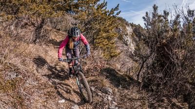
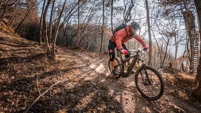
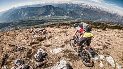
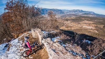
The starting point is the small village of Covelo at 585 m above sea level. From here, the route climbs extremely steeply along a historic path towards Bocca di San Giovanni at 1572 m above sea level. Only the fittest of bio bikers can manage the climb. For everyone else, the motto here is "if you love your bike, you push". E-bikers, on the other hand, are already ahead here and enjoy the steep and rough uphill. From Bocca di San Giovanni, you wind your way over the Malga di Covelo and then over the Passo di San Giacomo to the summit of Cima Canfedin. Typical of the region, the western section has a steep gradient and leads towards Lake Molveno, while the eastern section offers extremely steep rock faces and an incredible view of the main Alpine ridge, the Adige Valley and Trento. The downhill runs in the upper section from the summit to the Passo di San Giacomo on difficulty level S1. From the pass, the difficulty changes abruptly. On difficulty S3 to S4 in places, the route descends along an old historic path towards Covelo. Countless hairpin bends and rough trail sections have to be mastered. Some of the sections are a little exposed, so make sure you concentrate and ride cleanly. Mistakes should be avoided and, if in doubt, the bike should be pushed. In Covelo, the circle closes again and you have arrived at the starting point of the tour. All in all, this is one of the most alpine, technical and challenging descents in the Paganella region, which is also relatively unknown among bikers.
Map & GPX-Track
The map is only available to Ride subscribers.
The Ride-Subscription is available at ride-mtb.com/abo
.
Details of the tour
14 km
1430 m
1430 m
574 above sea level
2008 above sea level
1 day
Covelo
Covelo
2300
well suited
More information
More tours nearby






User comments (0)

About the author: Martin Depauli
Note: This content has been automatically translated from German. Please report any incorrect translations.