

Malga Bodrina – Rifugio Rododendro

Description
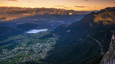
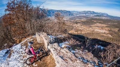
You start in Val di Non near the small village of Vigo di Ton. Initially, the route continues on asphalt for a few meters, but as soon as you turn onto the feeder road or forest road, the characteristics change abruptly: from here on, extreme gradients have to be mastered - and this over the entire 1100 meters of altitude difference of the uphill. The ascent leads through picturesque beech forests, partly on paved roads, partly on gravel, and finally ends at the Rifugio Rododendro. At the top, the magnificent view at the highest point of the tour makes up for the sweaty ascent.
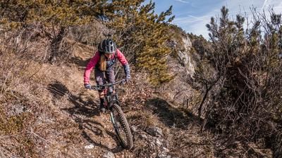
The descent follows trail no. 509, which rides directly across back towards Vigo di Ton. The trail is pleasantly homogeneous and coherent - technically less demanding (S1 to S2) and with a great flow, where the vertical meters just fly by. At the bottom, the trail rejoins the feeder road and a few minutes later you reach the starting point in Vigo di Ton.
Map & GPX-Track
The map is only available to Ride subscribers.
The Ride-Subscription is available at ride-mtb.com/abo
.
Details of the tour
12 km
1080 m
1080 m
462 above sea level
1548 above sea level
Vigo di Ton
Vigo di Ton
3496
well suited
More information
More tours nearby





User comments (0)

About the author: Martin Depauli
Note: This content has been automatically translated from German. Please report any incorrect translations.