

Madruttberg

Description
The route starts in the small village of Laag, south of Neumarkt. Right at the start, an interesting road leads towards Staudach, with a mixture of asphalt, gravel, paved natural stone paths and exposed passages with plenty of views, which will test your stamina.
Continue on the Gfrillner Straße road through dense spruce and larch forests, steadily uphill until you reach the turn-off towards Grill. At Feigenputz, turn left onto a forest road and circle the Madruttberg on its northern side. At a fork, the path branches off to the Madrutt forest hut and the summit of the Madruttberg. However, if you want to climb to the summit, you have to negotiate a forest road on both the ascent and descent.
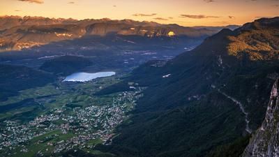
The hut offers a magnificent view over the Adige Valley: Lake Kaltern and Bolzano lie to the north, while Trentino and Mezzocorona spread out to the south.
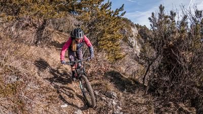
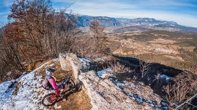
The descent then begins - and here you can see where the name Madrutt comes from: Derived from "broken, steep rock", the trail runs directly along a cliff edge in places, with a vertical drop of several vertical meters. The difficulty varies between S1 and S3 and should not be underestimated: Slipping down here would have fatal consequences. It is worth stopping at several viewpoints to enjoy the panorama - the focus should remain clearly on the line during the ride.
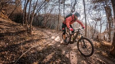
Further along, the trail becomes smoother until you reach the old ruins of a former cable car - relics from the 1960s when timber was transported here. The route then continues through southern vegetation zones, mostly on good gravel. Shortly before returning to the asphalt road, the difficulty increases once again to S2 to S3.
You then return to the uphill section and roll relaxedly back to the starting point in Laag.
Map & GPX-Track
The map is only available to Ride subscribers.
The Ride-Subscription is available at ride-mtb.com/abo
.
Details of the tour
19 km
1240 m
1240 m
214 above sea level
1421 above sea level
Laag
Laag
3420
well suited
More information
No bike shops are registered for this region. Registration as a partner takes place here.
More tours nearby






User comments (0)

About the author: Martin Depauli
Note: This content has been automatically translated from German. Please report any incorrect translations.