

Passo Sesis

Description
The starting point of the tour is the northern area of Forni Avoltri, just below the "Goccia di Carnia" spring. From here, you climb steadily uphill on an old, unpaved Roman road until you reach the Sorgenti del Piave - the source of the Piave. This place is steeped in history and the landscape is already very impressive.
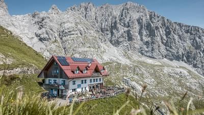
A short section on asphalt follows before you turn right and tackle the very steep uphill towards Rifugio Calvi da Fleons. The pedalable section ends at the Rifugio. The mountain bike is now pushed or carried up to the Passo Sesis at around 2310 meters above sea level.
If you want to experience even more, you can continue climbing from here to the Italian-Austrian border. The former military buildings around Monte Oregone and Hochalpl can be integrated - a worthwhile extension in terms of landscape and trail technology.
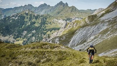
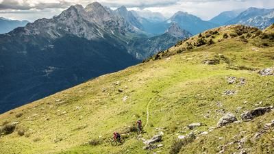
The descent from Passo Sesis runs along Sentiero 140 - typical for the region over limestone, with spectacular views and a varied route. The trail ranges between difficulty levels S1 and S2. In the upper section, frequent heavy rainfall can lead to erosion gullies and washed away passages. As it progresses, the trail becomes increasingly flowy and eventually turns into a cart track.
From the alpine pastures, the route is mostly on paved ground. A small trail cutter at the end provides a conciliatory ending before the loop comes to a close.
Map & GPX-Track
The map is only available to Ride subscribers.
The Ride-Subscription is available at ride-mtb.com/abo
.
Details of the tour
22 km
1315 m
1315 m
1046 above sea level
2340 above sea level
Forni Avoltri
Forni Avoltri
3478
not suitable
More information
More tours nearby






User comments (0)

About the author: Martin Depauli
Note: This content has been automatically translated from German. Please report any incorrect translations.