

Tacca del Sasso Nero
Description
This impressive circular tour starts in the village of Forni Avoltri, in the north-easternmost tip of Friuli. The ascent begins on asphalt and leads steadily uphill to the small mountain village of Collina, which lies picturesquely below the Carnic Alps - just a few kilometers from the state border with Austria.
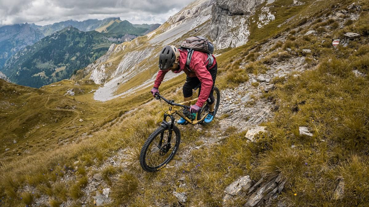
Above the village, the road becomes increasingly steep and finally turns into a gravel road that ends abruptly. From here, the mountain bike is pushed or carried on the back. Sentiero 176 rides along an old war path up around 1000 meters in altitude to the Tacca del Sasso Nero - also known as the Forcella d'Austria - at 2352 metres above sea level.
The route follows historical paths from the First World War, especially in the area around Lake Vola, where heavy fighting took place. The ascent to the saddle is exposed in places, but is well marked and offers spectacular scenery. The highest point of the tour is reached at the saddle itself - with a breathtaking panoramic view: To the north, Carinthia stretches out with the Hohe Tauern, to the south, the view extends over Friuli to the Dolomites of the Carnic Alps.
The descent begins in a challenging manner: in narrow military serpentines, you descend along an alpine path with difficulty levels ranging from S2 to S3 in places. Some sections are exposed and require full concentration. At a short crossing, the bike has to be pushed again briefly before the route continues towards Forcella Ombladet.
You now follow Sentiero 141 downhill with a similar level of difficulty - through high alpine terrain to the Plan de Cruos area and further down to Piano della Guerra. In the lower section, the path meets a gravel road, which is spiced up with a few trail cut-offs. The last few meters roll comfortably on gravel back to Forni Avoltri.
Map & GPX-Track
The map is only available to Ride subscribers.
The Ride-Subscription is available at ride-mtb.com/abo
.
Details of the tour
23 km
1425 m
1425 m
883 above sea level
2298 above sea level
Forni Avoltri
Forni Avoltri
3536
not suitable
More information
More tours nearby






User comments (0)

About the author: Martin Depauli
Note: This content has been automatically translated from German. Please report any incorrect translations.