

Monte Talm - Nord

Description
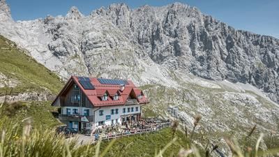
The tour starts in Comeglians in the heart of the Carnic Alps. From here, the SR465 initially leads via Sostasio and then steadily up the extremely steep southern ramp to the Rifugio Monte Talm. On asphalt, concrete and gravel, only the easiest gear selection is possible here, as otherwise only pushing is the order of the day. Just before the pushing section on the military trail begins, the path really shows its teeth on the uphill section. Now you end up on a mule track from the First World War and can still pedal a little in sections up to Monte Talm (1728 meters above sea level). The view from the summit is magnificent in the middle of the Carnic Alps. Countless peaks rise into the air and offer a first-class view. Be it the Dolomites to the west, the highest of the Carnic Alps to the north or the Italian Pre-Alps to the south.
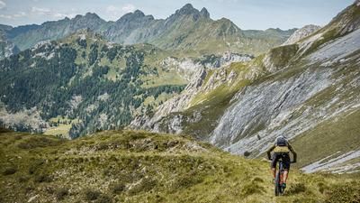
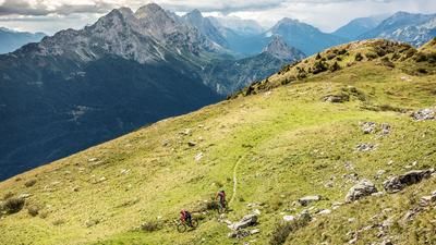
The trail descent starts directly from the summit. There is no time to break in. The trail immediately shows its full force. Difficulty S2 to S3 through the forest. S4 is also to be expected in places, although these sections can be easily pushed off. In the middle section, at an altitude of around 1200 meters above sea level, the trail becomes easier and moves to difficulty S2, remaining at this level until the end. Once you arrive in Valpicetto, you roll through the village, then change to the SR355 and arrive in Comeglians at a relaxed pace.
In general, it should be noted that this descent should only be completed in dry conditions. In wet conditions, you should definitely keep your hands off it, as the soil and roots make the trail a real slippery ride.
Map & GPX-Track
The map is only available to Ride subscribers.
The Ride-Subscription is available at ride-mtb.com/abo
.
Details of the tour
17 km
1185 m
1185 m
521 above sea level
1679 above sea level
1 day
Comeglians
Comeglians
2909
well suited
More information
More tours nearby





User comments (1)

About the author: Martin Depauli
Note: This content has been automatically translated from German. Please report any incorrect translations.
Unfortunately, it's a very, very steep descent—which isn't mentioned in the tour description.