

Hochalpljoch

Description
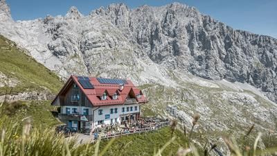
The tour starts in Pierabech, near Sappada, one of the German-speaking islands in the Carnic Alps. From here, you follow a rustic forest path or historic trail steadily uphill towards Casera di Sesis. Above the Piave spring, turn right before the Rifugio Sorgenti del Piave. After a short section on asphalt, the ascent continues on gravel roads with a medium to moderate gradient in the direction of Rifugio Pier Fortunato Calvi.
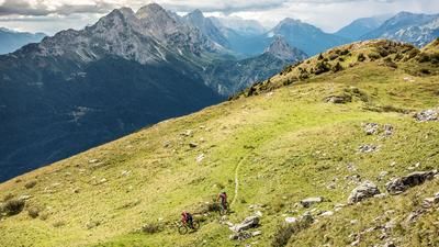
From here, the pedalling finally comes to an end - the bike is pushed up to Passo Sesis. You then reach a high plateau below Monte Peralba and can climb further up to the historic military positions of the Vallo Alpino on Monte Oregone or Passo Oregone (high alpine pasture). The panoramic view over the Carnic Alps, with views to Austria in the north and Italy in the south, is breathtaking.
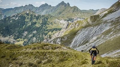
Then the descent begins. Up to Passo Sesis, the route remains largely undemanding before the path turns east into Sentiero 140. This is partly washed out, but generally easy to ride (S1-S2), and leads down into Val Fleons. As the altitude loss increases, the path becomes more and more of a cart track until it finally turns into a gravel road in the area of Casera Fleons di Sotto. Unfortunately, this last section is not very exciting and leads relatively unspectacularly back to the starting point.
One highlight along the way, however, is the Goccia di Carnia spring, where the famous mineral water is bottled. The loop ends in Pierabech.
Map & GPX-Track
The map is only available to Ride subscribers.
The Ride-Subscription is available at ride-mtb.com/abo
.
Details of the tour
22 km
1310 m
1310 m
1047 above sea level
2340 above sea level
Pierabech
Pierabech
3392
limited
More information
More tours nearby






User comments (0)

About the author: Martin Depauli
Note: This content has been automatically translated from German. Please report any incorrect translations.