

Wolayer See

Description
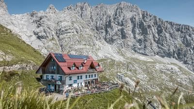
The route starts just above Rigolato. Here you start comfortably on asphalt and wind along a military road from the Second World War to Collina. From Collina, the route continues unabated on asphalt to the Rifugio Tolazzi (1350 meters above sea level). Now the uphill changes abruptly. It is also merciless on a historic military road. Extremely steep and impassable, you wind your way up a few hundred meters in altitude towards Lake Wolay with the Wolayerseehütte. After about two-thirds of the uphill section, it's over. From here, you have to push or carry your bike to the top. The point at which you reach the Wolayer Pass (1974 meters above sea level) is all the more dreamlike. The lake looks more like something out of a Lord of the Rings movie than the middle of the Alps. A fantastic mountain backdrop with bizarre and rugged rock faces and countless buildings from the First World War give you an idea of what happened here over 100 years ago.
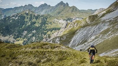
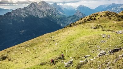
You can also get an idea of the downhill. You can already see the key sections on the uphill. Initially at difficulty levels S2 to S3, the Sentiero 144 leads directly downhill. This later reaches a difficulty level of S3 to S4 up to the Rifugio Tolazzi. Only absolute bike pros will be able to follow the trails here. From Rifugio Tolazzi there are some tasty trail cut-offs to Collina. Here you take the transfer on the old military road and take the uphill again to Givigliana, where the last trail of the tour is located. At difficulty levels S1 to S2, the route also follows a historic path with countless hairpin bends down to the starting point of the tour.
Map & GPX-Track
The map is only available to Ride subscribers.
The Ride-Subscription is available at ride-mtb.com/abo
.
Details of the tour
25 km
1425 m
1425 m
707 above sea level
1959 above sea level
1 day
Rigolato
Rigolato
2412
not suitable
More information
More tours nearby






User comments (0)

About the author: Martin Depauli
Note: This content has been automatically translated from German. Please report any incorrect translations.