

Sella Sissanis - Lago Pera

Description
The route starts just north of Forni Avoltri at the war chapel, which was built in memory of those who died in the First World War. The tour begins here a few meters after Pierabech. First, you ride briefly on asphalt before crossing the Torrente Degano and beginning the ascent on gravel.
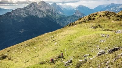
The uphill section is a medium to moderate climb with magnificent panoramic views. The destination is the Casera Bordaglia di Sotto with the small chapel of St. John Bosco - an idyllic place to pause for a moment. The rideable section ends here. The mountain bike is now carried or pushed.
The ascent continues past the Casera Bordaglia di Sopra, on to the picturesque Lago Pera and finally up to the Passo Sella Sissanis. Several hundred meters in altitude have to be conquered on foot. Once at the top, an impressive panorama opens up: the Wolayer Köpf, the Carnic Alps and the distant Dolomites frame this high alpine crossing - a vantage point that is one of the most impressive in the entire Alpine region.
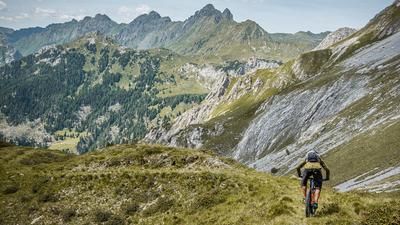
The descent takes place on the Sentiero / CAI 142, which is technically very varied. In the upper section along the Rio Sissanis, the trail is heavily washed out and ranges in difficulty from S2 to S3. The trail becomes smoother in places before you reach the Casera Sissanis di Sotto. In this section, there are several challenging key sections to master - in some cases, the bike also has to be carried for a short time.
Around the Casera Sissanis di Sotto, you will come across former bunkers of the Vallo Alpino, which can be explored if you are interested. The route then takes you downhill along an old forest road or a historic mule track in the S0 to S1 section.
Finally, you reach the Goccia di Carnia spring and continue along the path through the Stretta di Fleons, the narrow valley of Fleons lined with rock faces. You roll back to the starting point of the tour on firm ground and varied gravel.
Map & GPX-Track
The map is only available to Ride subscribers.
The Ride-Subscription is available at ride-mtb.com/abo
.
Details of the tour
12 km
890 m
890 m
1057 above sea level
1963 above sea level
Pierabech
Pierabech
3499
not suitable
More information
More tours nearby






User comments (0)

About the author: Martin Depauli
Note: This content has been automatically translated from German. Please report any incorrect translations.