

Forte Naole

Description
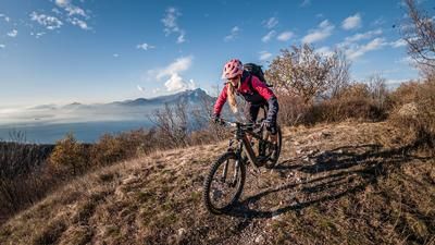
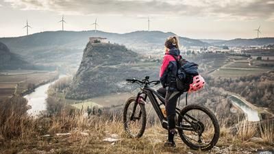
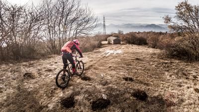
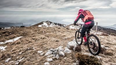
This giant tour starts in the village of Garda near Bardolino. From here, you cycle along the cycle paths to Caprino Veronese. Continue along the small mountain road towards Vilmezzano and then on to Malga Ime. By this point you already have a few kilometers and meters of altitude in your legs and get an insight into how big the Monte Baldo massif is and what possibilities are offered on southern Lake Garda. There are still a few steep sections to master on the way up to Malga Valfredda, before continuing along a kilometer-long mountain trail towards Colonei di Pesina, where you can enjoy a magnificent view of Lake Garda on this section above the tree line. The last meters of altitude have begun and you fight your way up to the destination of the tour, the Forte Naole (1675 meters above sea level). A military position from the First World War, which was of particular importance in the war, but today only remains as a historical building from that time. A magnificent 360-degree panorama and a stop at the nearby rifugio are possible in this area before the descent begins.
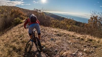
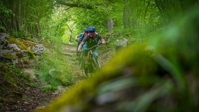
The descent is flowing downhill, but always challenging with some S2 sections. From Dosso dei Cavalli, the trail picks up speed again and winds its way to Corrubio with the same level of difficulty (S1 to S2). From Corrubio, the brakes can be cooled down for a short time before you hit the countless trail cut-offs towards Pizzon at Lumini. A veritable firework of trails has been created here and the trails have been perfectly constructed by the locals with jumps, berms and technical passages. From Pizzon, you then pedal a few more meters towards Monte Luppia before the grand finale: the panoramic trail to Punta San Vigilio. A fantastic descent at S3 level with viewpoints and key sections. Afterwards, you end up on the coastal road after a good shake and can end the day comfortably with a coffee in Garda. The tour is particularly attractive in spring and fall, as the temperatures are bearable and there is little snow. In summer, it should be avoided due to the high temperatures and the places heavily frequented by bathing tourists.
Map & GPX-Track
The map is only available to Ride subscribers.
The Ride-Subscription is available at ride-mtb.com/abo
.
Details of the tour
58 km
1760 m
1760 m
66 above sea level
1635 above sea level
1 day
Garda
Garda
2142
well suited
More information
More tours nearby






User comments (0)

About the author: Martin Depauli
Note: This content has been automatically translated from German. Please report any incorrect translations.