

Forte San Marco

Description
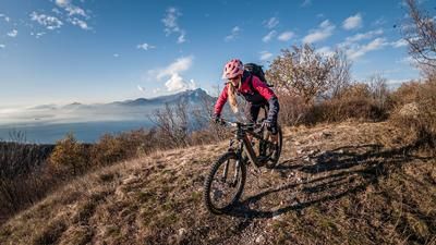
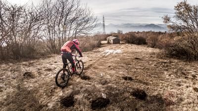
The historic tour starts in the small village of Canale (146 meters above sea level). From here, you head towards Caprino Veronese, passing the first historic building, the Forte dei Canale. You won't be lucky enough to get onto asphalt for long: On gravel, you wind your way uphill on a historic path to Forte San Marco (451 meters above sea level). For the biobikers, it gets really exhausting here in some places, as the stones and steps that have formed over the years have to be overcome. For e-bikers, the climb is a real joy. Once you reach the first culmination point of the tour - the huge Forte San Marco, which was built between 1885 and 1913 - you have a fabulous view down into the Adige Valley towards Rivoli, north towards the Monte Baldo massif and west towards southern Lake Garda. You should plan enough time to explore the area around the fortress. It is unbelievable what hardships and engineering feats were undertaken back then to defend their country.
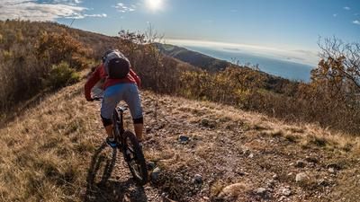
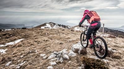
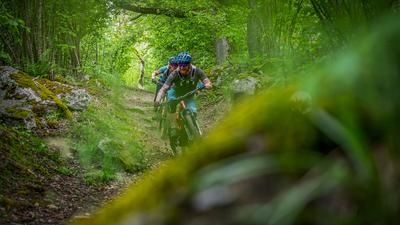
On difficulty S2 to S3, you surf down the mountain ridge to the west. The trail is characterized by flowing passages, crisp hairpin bends and varying difficulties - this is what is known as pure enduro culture. Once at the bottom of the valley, the route continues towards Cima Magnon. The small and rather unknown transition from Caprino Veronese into the Adige Valley offers what feels like an endless trail adventure. Initially on gravel, the route then continues on S1 to S2 back towards Canale. You have to push your bike for about 150 meters and don't be surprised if someone with a climbing rope and climbing equipment comes towards you. Just don't turn around, is the motto. You cross a rock bed in which a climbing garden has been set up and briefly causes some confusion. After this section, you surf back to Canale at S1 level, thus completing the tour. A great tour and a mix of historic buildings, as well as extremely impressive panoramic views for the low altitude.
Map & GPX-Track
The map is only available to Ride subscribers.
The Ride-Subscription is available at ride-mtb.com/abo
.
Details of the tour
16 km
620 m
620 m
101 above sea level
537 above sea level
1 day
Canale
Canale
2144
well suited
More information
More tours nearby





User comments (1)

About the author: Martin Depauli
Note: This content has been automatically translated from German. Please report any incorrect translations.
Unfortunately, the second trail had been widened into a two-meter-wide gravel path—not very interesting; better to look for an alternative.