

Monte Lenzino

Description
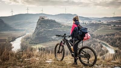
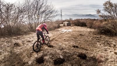
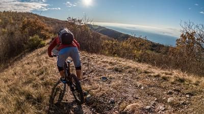
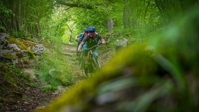
The tour starts in Garda and winds its way up the Val dei Molini along historic paths towards Castion Veronese to the saddle (approx. 450 meters above sea level). From here, the first downhill to Albisano begins. You wind your way down the southern ramp of the pass road on difficulty levels S1 to S2 (approx. 100 meters in altitude). Then it's back to cross-country mode as you climb through hilly terrain via Monte Bandiera (460 meters above sea level) to Monte Lenzino (479 meters above sea level). Again and again you pass viewpoints and have a wonderful panorama towards Torri and Garda. In spring and autumn in particular, southern Lake Garda is literally at your feet and looks like the Mediterranean Sea.
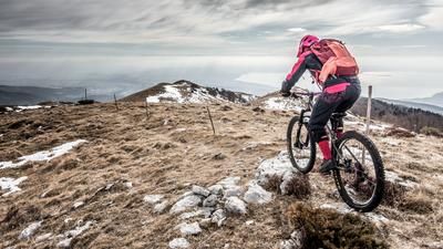
The descent from Monte Lenzino to Torri is relatively easy and reaches a maximum difficulty of S1. However, after the traverse towards San Vigilio, you finally reach the coastal trail, which really shows its teeth and takes a few more grains and rides down to the lake with a difficulty between S2 and S3. In total, around six kilometers of the 19 kilometer tour are covered on trail. The route offers a great cost/benefit ratio and is an ideal arrival or departure tour.
Map & GPX-Track
The map is only available to Ride subscribers.
The Ride-Subscription is available at ride-mtb.com/abo
.
Details of the tour
20 km
495 m
495 m
67 above sea level
462 above sea level
1 day
Garda
Garda
2146
well suited
More information
More tours nearby





User comments (1)

About the author: Martin Depauli
Note: This content has been automatically translated from German. Please report any incorrect translations.
Nice lap. Currently 11.2025 there is a major construction site in the ascent in the valley of Rio Molino. Keeping to the right seems to be the best option if you want to continue the tour on dry feet.