

Forte di Naole – Passo del Casello

Description
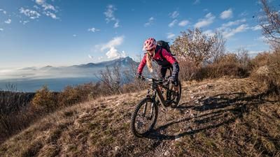
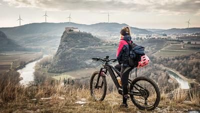
The route starts in the Adige Valley right next to the Adige at the Napoleonic Monument near Canale. From here, it's a relaxed ride on asphalt past Monte Cordespino/Forte San Marco, past Pazzon and then steadily uphill to Malga Valfredda. The ascent becomes increasingly epic and less congested as the altitude increases. The crossing from Malga Valfredda to Colonei di Pesina is particularly tedious, but a panoramic highlight. The route then takes you to Forte di Naole. In the distance, the epic slopes of Cima Telegrafo and Monte Baldo show the way. The road is cut like a line into these south-western slopes and is particularly attractive in the fall when the views are good. All the exertions are finally rewarded at the Forte di Naole and a panorama in a class of its own is revealed.
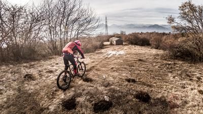
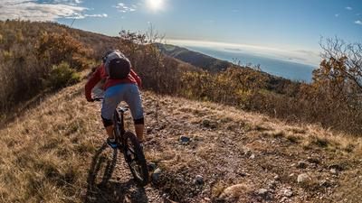
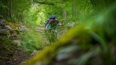
The descent is just as special. There are only a few meters to warm up the brakes. Then you start onto a challenging and technical trail with typical Lake Garda flair. In the upper difficulty range on S3 with loose gravel combined with hairpin bends and other obstacles. This is how you fight your way to Malga Natura. From there, the trail becomes more idyllic and rides down through larch forests on difficulty levels S1 to S2. The route continues in this manner to Ferrara di Monte Baldo. At Ferrara di Monte Baldo, there is a counter-climb to Monte Castelcucco. This uphill is once again an effective way to take in a very varied and interesting trail. Similar to the previous sections, the route then descends steadily for almost 900 Elevation loss with a view of the Adige Valley before finally arriving back at the cycle path. You then pedal along this in a relaxed manner and reach the starting point at the Napoleonic Monument.
Map & GPX-Track
The map is only available to Ride subscribers.
The Ride-Subscription is available at ride-mtb.com/abo
.
Details of the tour
55 km
1905 m
1905 m
97 above sea level
1656 above sea level
1 day
Canale
Canale
2878
well suited
More information
More tours nearby






User comments (0)

About the author: Martin Depauli
Note: This content has been automatically translated from German. Please report any incorrect translations.