

Bantiger Ostrunde

Description
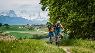
The tour starts in Worb and first rides along the cycle path towards Stettlen. You climb up through Sinneringen towards Bantiger and reach the summit with its clearly visible transmitter antenna via a mountain road past Ferenberg. Fun is on the agenda for the descent to Thorberg. The single trail high above the Lindental valley is first-class and only ends at the bottom of the valley. Behind the penal institution, you now climb back up via Schwändi, past Diepoldshusenegg and over Mänziwilegg to Lüüseberg. This is the starting point for the fast descent through the Worbberg back to Worb.
Map & GPX-Track
The map is only available to Ride subscribers.
The Ride-Subscription is available at ride-mtb.com/abo
.
Details of the tour
33 km
840 m
840 m
548 above sea level
942 above sea level
1 day
Worb
Worb
1153
well suited
More tours nearby


User comments (2)

About the author: Thomas Giger
Note: This content has been automatically translated from German. Please report any incorrect translations.
I live in this area and know the Bantiger quite well. I downloaded your tour for a change. At the ridge, as you have uploaded the tour, there are difficult steps. If you "climb" the path (left) 5 m upwards at km 14.3, then the ridge becomes really first-class. There are still some sections that are better not ridden.
At 19.1 km I would ride or push up the ramp (10 m), but there is a very nice singletrail up there on the wide ridge - much better than the Foststrasse at the bottom. At km 20.2 I couldn't find the path. Also before Mänziwilegg at km 24.9 there is a path (on the left) which I find nicer than the road. At km 27.2 you can go down the boring stairs as suggested or, as I would do, make a small turn and return to the road at 27.4. I would also turn left at km 29.6.
The second highlight of this tour from my point of view is the Richigengraben.
I would start the tour in Boll and so it is better to ride towards the end, not down to Worb but up towards Vechigen and then cross the Dachshölzli forest.
I will do this tour again.
The uphills are often steep (e.g. km 21.8) and the ridge over Lindental is dangerous and must be dry. You could ride a large part of the tour in the opposite direction and then take the really beautiful Geisme DH down into the Lindental.
The single trail on the ridge high above the Lindental valley, described as first-class, is indeed first-class (I would rather describe it as unique) - but it cannot be ridden over long stretches. A large part of this section involves steep steps downhill and uphill. Part of the trail is on foot (some of it on narrow sandstone hilltops), the terrain drops between 20 and 50 meters (or more) to the left and right, and is secured with handrails, chains and ropes. There is a "Danger of falling" warning sign at the start of the last section. If you are not sure of your footing and rely on the description above, you are in for a nasty surprise. Anyone who classifies this tour as "suitable for e-mountain bikes" from their desk is acting irresponsibly in my opinion. My companion was on an e-MTB... which meant that two of us had to lift the bike over the steps and barriers in the terrain. Otherwise, the tour is varied and certainly an exciting option around the Bantiger for non-locals.