

Hauensteiner Trail-Tour
Description
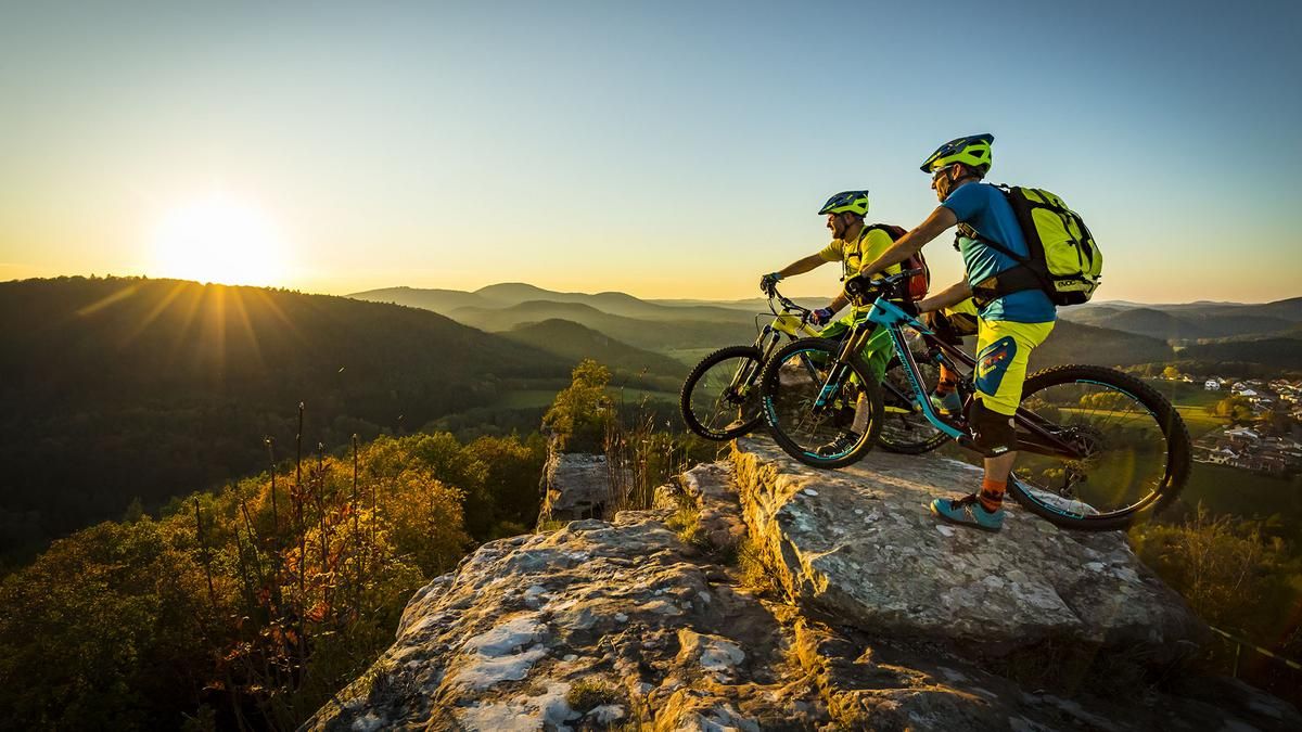
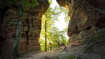
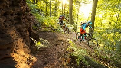
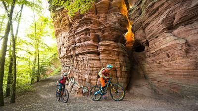
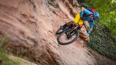
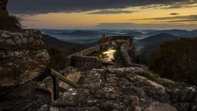
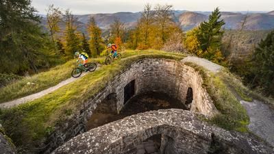
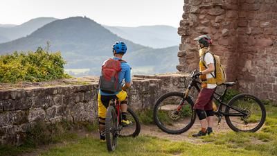
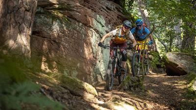
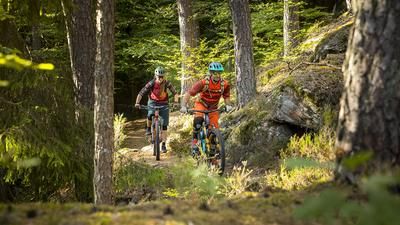
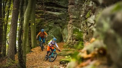
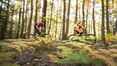
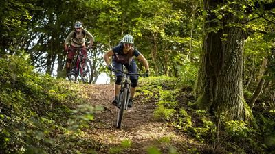
From the starting point, you first ride through the well-known shoe mile village of Hauenstein, then after a short drive-in time past the Hauenstein barbecue area, alternating between trail and forest path over the Zimmerberg up to the Vier Buchen. After a short forest path, the first flowing and long downhill trail starts. This trail is one of the highlights of this tour; it first winds its way down a somewhat steeper slope and then, after crossing the forest road, winds endlessly down the slope. Once we reach the Pirminius cycle path, we take it and then ride up a longer but pleasant climb towards Hinterweidenthal. This effort is also worthwhile: the route then descends again, sometimes challenging, on a beautiful narrow path. The route continues past the Rohrwoog natural lakes. The path runs idyllically along the water. The following bridging section, on forest paths, ends below the Gersbergerkopf. The imposing "Römerfelsen" rock formation is also located here. The short detour is worthwhile, as it is easy to climb and offers a magnificent view. After this detour, it's time to head back downhill. The trail that now follows winds its way downhill, first through moss-covered ground, then on beautiful sandy soil. After a short flat section, we reach a forest road, which we follow to the idyllic village of Erfweiler. Now we ride first on a forest road and then on an asphalt side road to the Bärenbrunnerhof. This is a farm at the head of the valley, where we recommend a stop for refreshments. The farm's organic products are known far beyond the borders. The route then climbs steeply uphill again, past the impressive high rock formation "Honigfels". Our last ascent leads us directly to a descent down to Schwanheim and from there we ride back to Hauenstein.
Map & GPX-Track
The map is only available to Ride subscribers.
The Ride-Subscription is available at ride-mtb.com/abo
.
Details of the tour
39 km
960 m
960 m
231 above sea level
437 above sea level
1 day
Hauenstein
Hauenstein
2124
well suited
More information
More tours nearby
User comments (1)
Note: This content has been automatically translated from German. Please report any incorrect translations.
90% of this tour is on forest roads.
The 10% singletrails are great!
I don't think a tour like this belongs in the ride.ch database!
I advise against this tour 100% and ask you to remove it from the database.