

Langmühlentour
Description
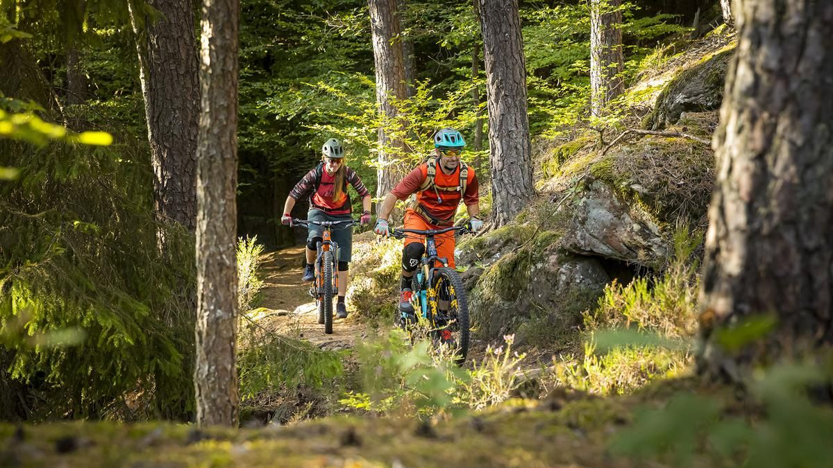
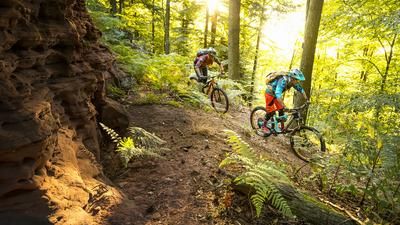
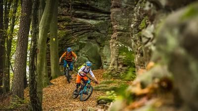
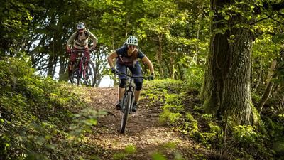
We set off above the small, tranquil village of Langmühle. At first, the route climbs gently upwards on a wide path, ideal for getting used to the terrain. Then we take a sharp right onto a steep ramp and, after a short, steep climb, turn left onto a trail. At the bottom, past the refuge, we continue riding on a wide path and then on a side road before turning left again into the forest. After the sports field, there is another trail descent before riding along a wide path to the "Drei Buchen" forest house. Here you can stop for a bite to eat, and the Palatinate delicacies are not to be missed. Freshly fortified, after a short ride on a forest road, turn right onto a long, flowing trail to the village of Glashütte. After crossing the main road, a trail section follows before we ride uphill again for a long time with beautiful views of the surrounding mountains. After this ascent, we enter a serpentine trail. The hairpin bends are quite easy, the radius is rather wide and so we reach a wide path in a fun way, which we then follow further downhill.
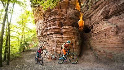
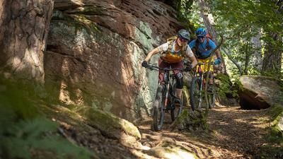
The next ascent takes us to the "Hohe List" hut, where we can also stop for a bite to eat. Afterwards, we bike down a fast descent on a forest road. The following ascent takes us directly past the gypsy rock. A short stop is worthwhile, the bizarre rock formation provides a wonderful backdrop for a photo. We then take the next descent to a side road, which we follow before turning left again into the forest. After this little detour, we come back to the familiar side road, the last turn-off to the right leads us first onto an uphill trail and then down a flowing descent. Now we cycle along the country road again and ride through the following terrain for the last time before returning to the starting point.
Map & GPX-Track
The map is only available to Ride subscribers.
The Ride-Subscription is available at ride-mtb.com/abo
.
Details of the tour
46 km
1010 m
1010 m
233 above sea level
451 above sea level
1 day
Langmühle
Langmühle
2331
well suited
More information
More tours nearby
User comments (0)
Note: This content has been automatically translated from German. Please report any incorrect translations.