

Südpfälzer Grenztour
Description
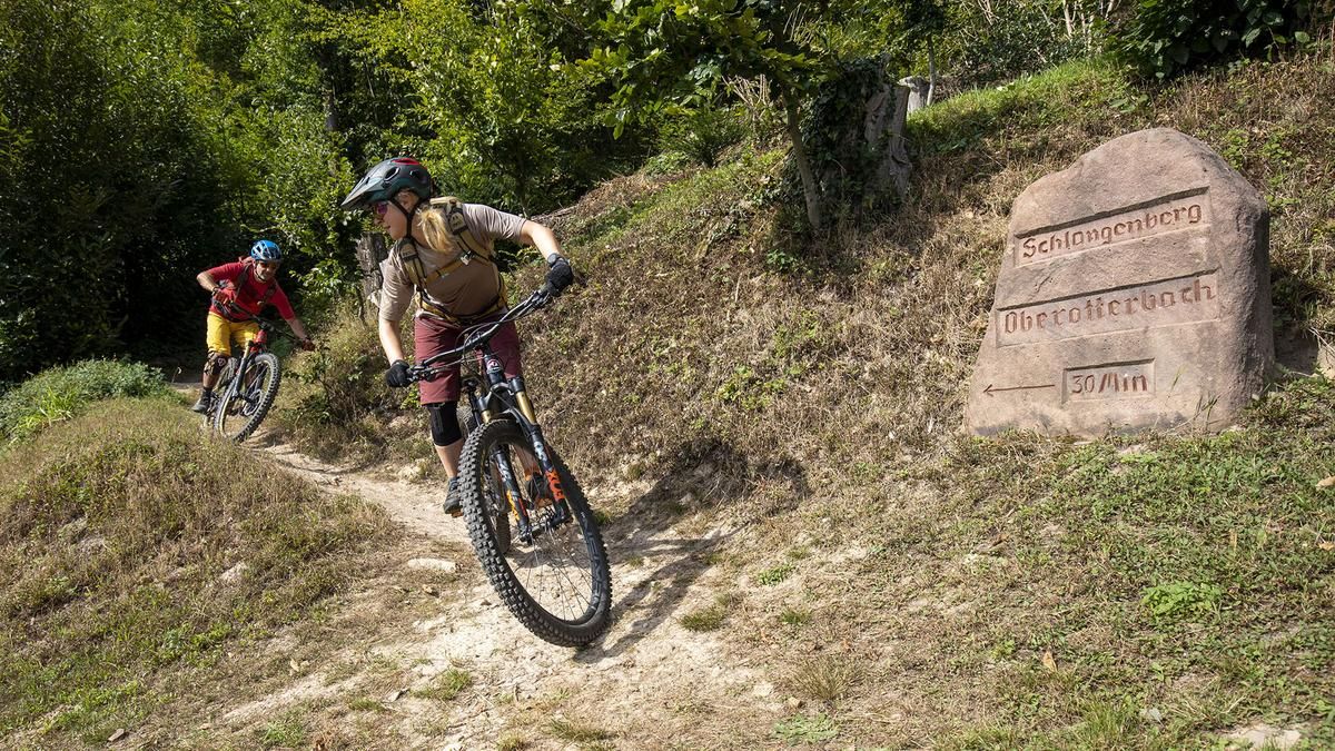
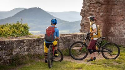
At the beginning, we ride through the small, southern Palatinate village of Oberotterbach. The tour slowly and leisurely winds its way through idyllic vineyards into the nearby forest. It then continues uphill on a steep, yet easy to ride trail. The varied tour leads along the edge of the forest with contact to the vineyards to Schweigen-Rechtenbach. There we ride to the southern start of the German Wine Route, the German Wine Gate. Here we can enjoy not only a rest but also a magnificent view over the Rhine plain. Afterwards, we head back into the forest via a through road, again steeply uphill on a trail.
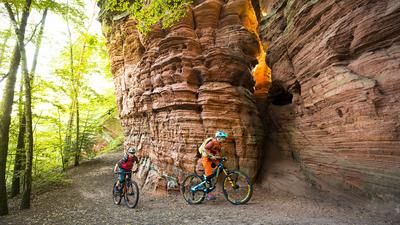
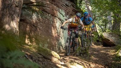
After a short interruption at a crossroads, we return to the forest road and turn off onto the Grenzgänger Weg at Oberer Abtskopf. This trail winds up and down along old border stones right on the border with France. Then it's a fast ride on a wide path and another small loop above the St. Germanshof to the main road. We cross this road and follow the forest road. After a short descent, we cycle back up again. This trail is long, always easy to ride and yet very strenuous. The hairpin bends may force us out of the saddle at the end, but then it's done. We cross the so-called Mundartwald forest and reach the Stone Table. This bizarre rock formation not only offers a beautiful view of the surrounding forests, but the area in front of the rock also invites you to take a break.
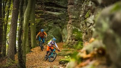
Now it's a very technical ride at first, then a flowing trail downhill again and again. On a forest road, we turn into a narrow path that offers some tighter bends. After the next ascent, we again come to a spur road with a refuge and a World War II memorial. Historical mountains and paths, as well as thought-provoking plaques, bear witness to what happened here during the First and Second World Wars. A short built trail section with bends and small jumps brings us back to the bottom of the valley, where we ride back to Oberotterbach via the Hasenberg and the vineyards.
Map & GPX-Track
The map is only available to Ride subscribers.
The Ride-Subscription is available at ride-mtb.com/abo
.
Details of the tour
30 km
865 m
865 m
191 above sea level
567 above sea level
1 day
Oberotterbach
Oberotterbach
2323
well suited
More tours nearby

User comments (2)
Note: This content has been automatically translated from German. Please report any incorrect translations.
We rode the trail today and agree with the previous comment: in terms of difficulty, it’s more of a 2, except for two short sections. (Unfortunately) there are more uphill sections than downhill ones, and most of it is relatively easy (S0, S1). But it’s good for your fitness if you don’t have an e-bike.
The tour is very entertaining. We ended up with 33 km and 1200 m of elevation gain. It is tour 10 of the local trail network, in principle you can follow the corresponding signs. But you have to be very careful not to miss any junctions. The uphills are mostly on very short, narrow paths. The descents are not worth mentioning apart from about 20 meters. So I would give the tour a difficulty rating of two, maximum three compared to what I know from the ride database.