

Col des Charmonts

Description
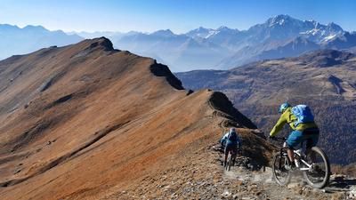
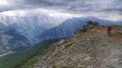
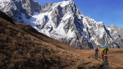
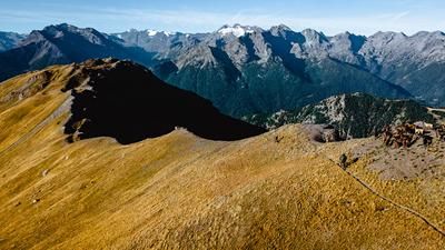
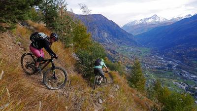
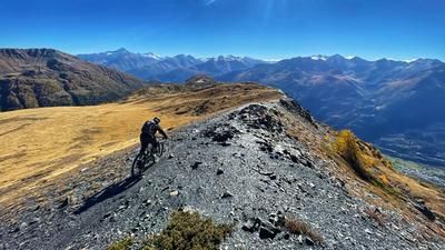
If you want to reach the military trail on Mont Favre (Pointe des Charmonts), you first have to work hard on the long ascent from La Thuile through the Vallon des Chavannes. You climb a good 1100 meters in altitude on a gravel road up the wild and romantic mountain valley, passing the two Chavanne Alps and almost reaching the Col des Chavannes. A little before the pass, however, you branch off to the right on this route and climb up to Mont Fortin. Here you are now on a single trail, with well-trained mountain bikers (and e-mountain bikers) riding up the trail and less experienced riders pushing on individual sections. At the pass, it's time to take a deep breath and enjoy the view. Directly opposite is Mont Blanc and the entire surrounding rock massif, with the Val Vény far below and the Val Ferret in the background. The view from here is absolutely stunning! But the ascent is not over yet. You follow the ridge on a fairly well-maintained trail, with hairpin bends to master on the ascent to the Col du Berrio Blanc that are almost impossible to ride. However, the sections in between are surprisingly easy to ride uphill. After the Col du Berrio Blanc, it gets a bit trickier for a while, the path over to the Col des Charmonts is always a bit slippery, sometimes there's a boulder in the way, then it's rideable again for a bit. Finally, the Col des Charmonts is reached, and here it's time to enjoy the view of Mont Blanc once again.
Now it's time for the long descent back into the valley of La Thuile. The first few meters are not rideable, then the path becomes twisty and fun, and you head down the steep meadow slope in serpentine mode. If you were expecting pure downhill fun, you've rejoiced a little too soon. There is another short climb up to the Col de la Youlaz (around 50 meters in altitude), but then the drudgery is over. This is followed by a very long descent through the Vallon de la Youlaz down to Alp Arp, a considerable section of which rides along an alpine road. The last section down to the center of La Thuile follows another singletrail. Conclusion: an exceptional high-Alpine tour against a stunning backdrop.
Map & GPX-Track
The map is only available to Ride subscribers.
The Ride-Subscription is available at ride-mtb.com/abo
.
Details of the tour
32 km
1580 m
1580 m
1440 above sea level
2860 above sea level
1 day
La Thuile
La Thuile
2082
well suited
More information
More tours nearby











User comments (0)

About the author: Thomas Giger
Note: This content has been automatically translated from German. Please report any incorrect translations.