

Mont Fortin
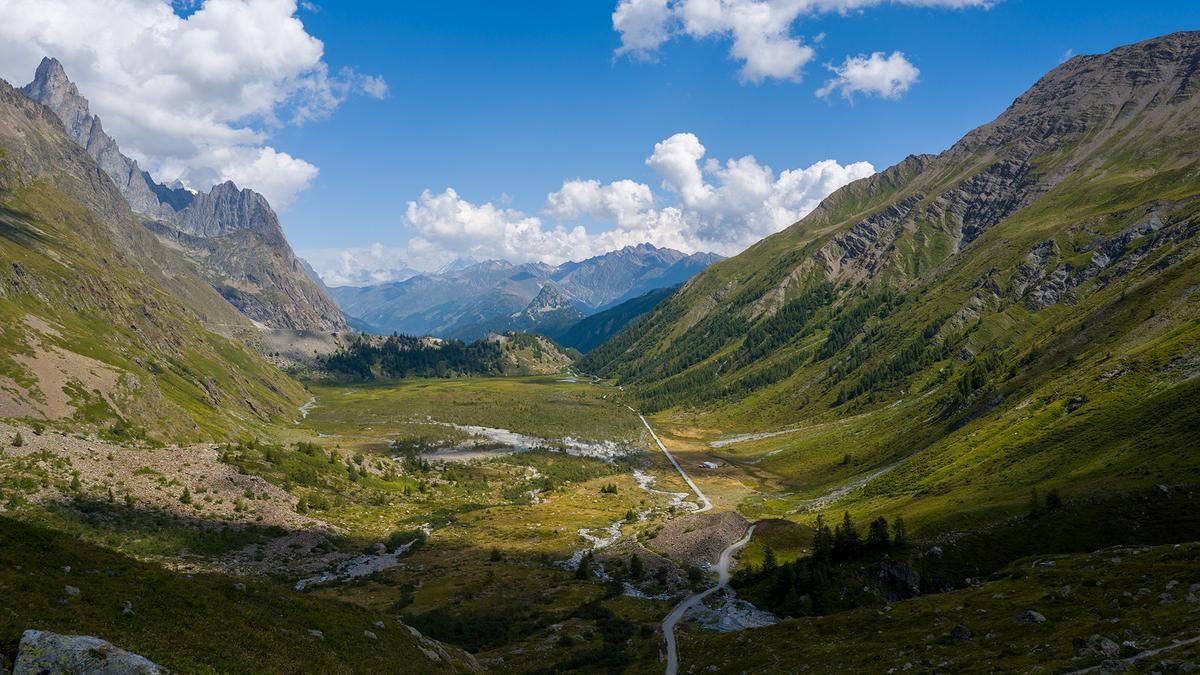
Description
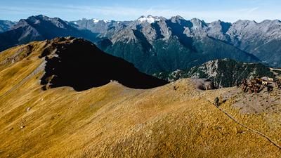
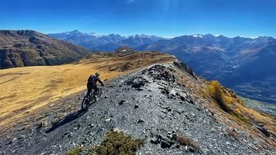
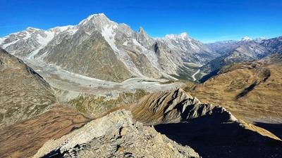
The first part of the tour rides uphill from Courmayeur (1200 meters above sea level) through the entire Val Veny up to the Col de la Seigne (2515 meters above sea level). The route rides on an asphalt road up to an altitude of 2000 meters above sea level. The surface then changes to gravel and becomes steep in the section up to the Rifugio Elisabetta. There is then a brief respite until the last section rides up to the pass on a singletrail. The trail is well developed and theoretically rideable - provided you have an e-bike or exceptional muscle power. With the Col de la Seigne on the French border, most of the ascent is done, but the Col des Chavannes (2592 meters above sea level) still has to be conquered. This section is on a trail that is easy to ride, and only at the very end are there a few sections of pushing to master. But: the highest point has still not been reached. Another single trail leads to Mont Fortin (2758 meters above sea level), still well developed but so steep towards the end that it is no longer enough for e-mountain bikers. However, the pushing section is short and the reward at the summit with the view of the Mont Blanc massif, the Val Veny and the Rutor glacier on the opposite side is almost priceless.
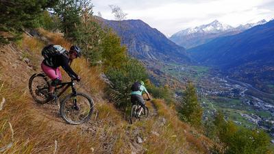
From Mont Fortin, it's straight into the descent. The path down through the rocky terrain is very challenging, repeatedly interspersed with (unrideable) hairpin bends. Many mountain bikers keep pushing their bikes here until they finally reach a kind of balcony high above the Val Veny. You now follow this balcony, with repeated uphill sections, but overall it is a panoramic descent to the Rifugio Maison Vieille in the Courmayeur ski area. The Rifugio is the starting point for the crisp descent back to Courmayeur. This begins harmlessly until the path below the top station of the cable car dives into steep terrain and winds its way through the forest in serpentine mode. As the distance increases, however, the trail becomes smoother and eventually you shoot towards the village of Courmayeur in flow mode.
Conclusion of the tour: an overwhelming tour for very good bikers who love challenges, are not afraid to push, but above all are looking for a magnificent panorama.
Map & GPX-Track
The map is only available to Ride subscribers.
The Ride-Subscription is available at ride-mtb.com/abo
.
Details of the tour
37 km
1800 m
1800 m
1174 above sea level
2716 above sea level
1 day
Courmayeur
Courmayeur
2083
well suited
More information
More tours nearby











User comments (0)

About the author: Thomas Giger
Note: This content has been automatically translated from German. Please report any incorrect translations.