

Colle della Croce (Morgex)

Description
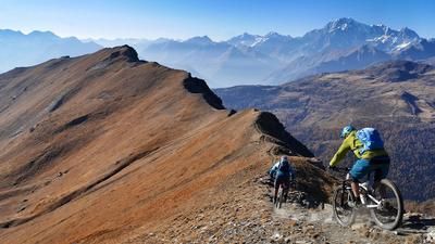
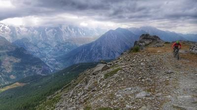
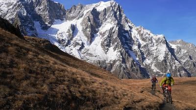
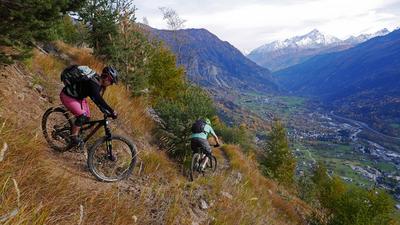
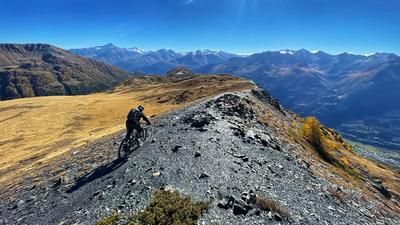
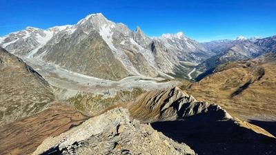
The start of the tour is steep: the never-ending little road rides from Morgex up 1000 meters in altitude to Colle San Carlo. It is advisable to rely on the help of a shuttle here, as it is another 420 vertical meters from the top of the pass to Colle della Croce. This section initially leads along a gravel road, which then becomes increasingly smaller and finally leads to the top of the pass as a single trail that is easy to ride and has a pleasant gradient. A detour to the summit is worthwhile here, the view of La Thuile, Courmayeur and the Mont Blanc massif is stunning. The descent then rides along the trail towards La Thuile. At first it is a little gravely, but then it becomes increasingly flowy and at an old fortress you turn right onto the flowing trail over to the pass road. Climb up this road again to the Passo San Carlo, then turn left and climb up to the transmission masts. This is where the silky-smooth trail through the dense forest begins, followed by a long descent on a rough gravel path until you finally reach the sometimes very steep trail to Morgex. A mountain run is held on this trail every year, so it is usually very well marked. The descent ends just above Morgex.
Map & GPX-Track
The map is only available to Ride subscribers.
The Ride-Subscription is available at ride-mtb.com/abo
.
Details of the tour
31 km
1820 m
1820 m
919 above sea level
2461 above sea level
1 day
Morgex
Morgex
1625
well suited
More information
More tours nearby










User comments (0)

About the author: Thomas Giger
Note: This content has been automatically translated from German. Please report any incorrect translations.