

Punta Leysser - Aosta

Description
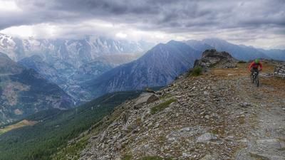
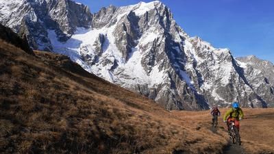
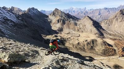
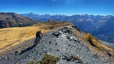
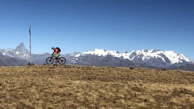
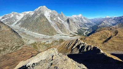
Ideally, you should be shuttled up from Aosta to Vétan for the start of the tour. The mountain village is 1200 meters above Aosta, and the upcoming gravel road ascent to the Rifugio Fallère adds another 600 meters to the altitude difference. Many people start the well-known Becca Trail from here, but we push our bikes up to Pointe Leysser. A further 400 meters in altitude are conquered in this way on a single trail, the bike has to be carried, especially in the final section. The subsequent summit experience is unique: Monte Rosa, Grand Combin, Grande Paradiso and, above all, the entire Mont Blanc massif can be seen.
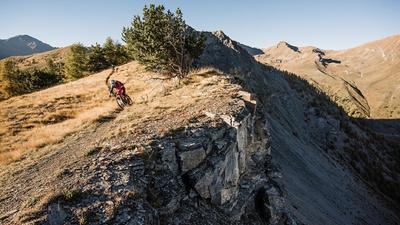
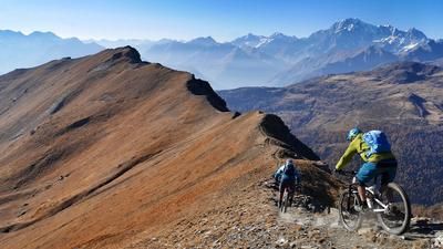
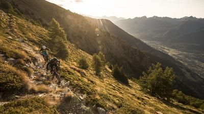
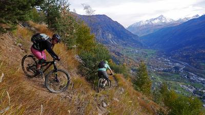
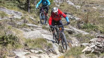
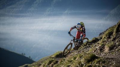
At your feet is a ridge path that makes a mountain biker's heart beat faster. The trail leads quickly and smoothly downhill, with a few short climbs on the way to Pointe Oilletta, and finally the path winds along the southern ridge down to the Col du Mont Joux. The trail spectacle is not yet finished. A great path leads down to the Ru du Vens and finally flat to the village of Vens. Here you enter the second part of the descent. Follow the road for a while and soon turn left onto the first trail. The descent via Saint Nicolas to Villeneuve is a mix of great, flowing trails combined with flat sections along water pipes and individual sections on asphalt. In this way, you reach Villneuve and later Saint-Pierre, from where you finally roll along the valley floor back to the city center of Aosta.
Map & GPX-Track
The map is only available to Ride subscribers.
The Ride-Subscription is available at ride-mtb.com/abo
.
Details of the tour
39 km
1145 m
2365 m
1 day
Aosta
Aosta
2736
not suitable
More information
More tours nearby



















User comments (5)

About the author: Thomas Giger
Note: This content has been automatically translated from German. Please report any incorrect translations.
Some trees on the trail in the forest from Lago de Joux. Most of them are reasonably easy to negotiate, but some require more effort. The subsequent path along the edge of the slope is quite overgrown. Still a top tour!
Compared to Becca France, Punta Chaligne and Punta Fetita, I would say this is the technically easiest tour. The view is better than Becca, similar to Chaligne but "worse" than Fetita. Definitely only worthwhile in good weather, otherwise I would turn off at Refugio Fallere in the direction of Becca.
We parked in St Nicolas and went up from there to Vetan so that the altitude difference was still manageable for us.
Otherwise: nice tour, agree with everything in the other comments.
The tour is really nice in terms of the panorama. Unfortunately, the descent is far too flowy for us. More like a 2 in terms of riding technique. If you're looking for something more fun/somewhat more challenging, then choose Punta Fetita instead...
Less hard with a shuttle to Vetan and a refreshment stop at the Refugio Monte Fallere. Because from then on it's mostly pushing, riding and then definitely carrying! We met 4 more bikers at the summit😀, the hikers stayed at the Refugio!
The Kretenweg is in good condition, but requires a head for heights and still some fitness reserves, as further climbs follow! But after the ridge, it's all about flow puur. It's worth riding the tour to Derbi according to the ride. However, the descent after Derbi is slippery at one point, here you have to walk about 50-100 Elevation loss.
The climb is pretty tough, but the reward is worth every bead of sweat. A really great view, and trail fireworks that last...