

Col de Ceingles

Description
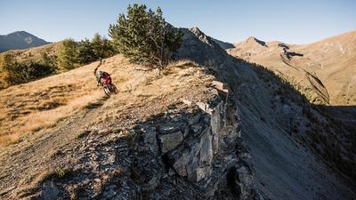
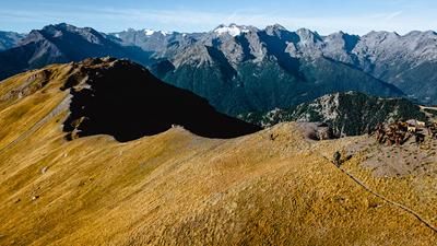
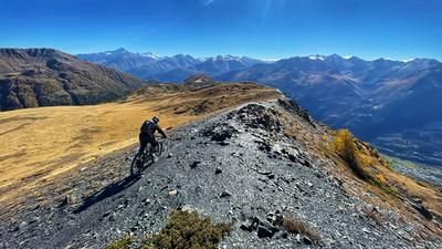
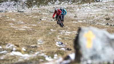
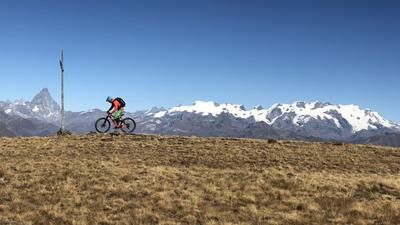
The starting point of the route is the summit of the Great St. Bernard Pass. You can get up here either by public bus from Aosta (I) or Orsières (CH) or you can be shuttled up to the pass by Aosta Valley Freeride. It starts with a cold start. A few meters of asphalt, then you head left onto the first singletrail before reaching the traverse over to Alp Farcoz. This traverse is initially only rideable in sections and exposed in places. After the hilltop, however, it becomes smoother and more rideable, but the fun on the trail comes to an end at the Alp. From now on, the bike rests on your shoulders up to the Col de Saint Rhemy. The trail rides through steep terrain, but is easily manageable on foot. After the crossing, it's time to cycle for a while: a wonderfully flowing trail leads pleasantly uphill through a wild alpine mountain landscape. For the last section up to the Col des Ceingles, the bike has to be hoisted onto your shoulders for around 150 meters of ascent. Then the ascent comes to an end.
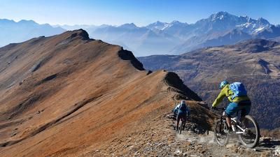
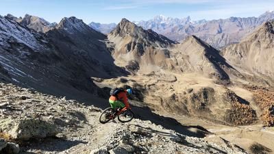
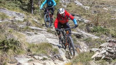
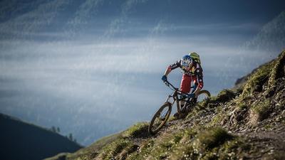
The Col des Ceingles is the starting point to Aosta, 2250 meters below. The upcoming descent is almost 37 kilometers long! And it starts off challenging: the alpine trail rides down winding, steep and then flowing roads to the Rifugio Frassati. The following section is familiar to some from the ascent up to Col Malatra, but on the way down it is a challenge because it is interspersed with rain gullies and in many places has been badly damaged by cattle. This is the least attractive part of the descent, but it is followed by a highlight. The singletrail descent to Saint Rhémy is a flow bomb! After Saint Rhémy, you climb another short section on a gravel road, before rolling along a short singletrail and later on a gravel road to Etroubles.
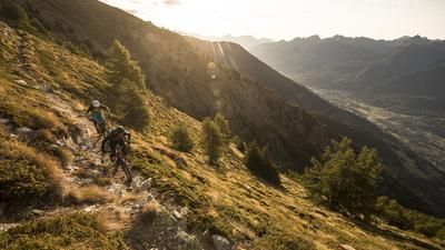
The third stage of the tour starts in Etroubles. You roll out of the Val del Gran San Bernardo on what feels like an endless path at almost the same altitude. The route mostly rides on single trails, although some sections have now been widened. In this way, you reach a little above Arpuilles and then roll right into the center of Aosta on a brilliant singletrail descent. Conclusion: an undisputedly exceptional enduro tour in rather unknown terrain.
Map & GPX-Track
The map is only available to Ride subscribers.
The Ride-Subscription is available at ride-mtb.com/abo
.
Details of the tour
45 km
1020 m
2910 m
583 above sea level
2807 above sea level
1 day
Aosta
Aosta
2050
not suitable
More information
More tours nearby















User comments (0)

About the author: Thomas Giger
Note: This content has been automatically translated from German. Please report any incorrect translations.