

Arpisson

Description
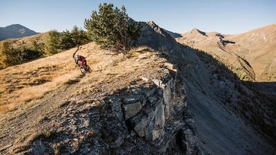
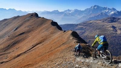
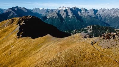
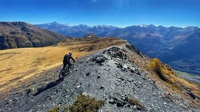
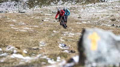
The first milestone of the tour is the village of Blavy, around 900 meters above Aosta. The ascent there is not very spectacular and rides along the little road up to Maillod, from there on to Marléaz and finally to Blavy. The asphalt road ends here, the ascent now continues on a gravel road, another 250 meters of altitude difference have to be mastered, and finally the next milestone is reached at a small group of houses (Praperiaz). From here, the Zumba trail would now ride downhill, but in this version it goes up a bit. A singletrail leads to the ridge, sometimes steep with a section of pushing, but overall a manageable ride. The path finally winds its way through the northern flank of the Becca di Roisan until the singletrail descent to Valpelline begins at a small alpine settlement.
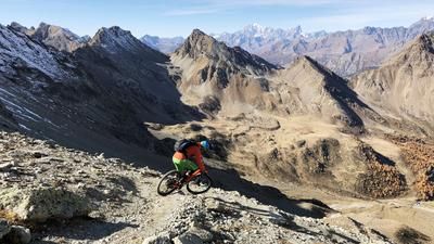
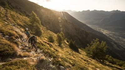
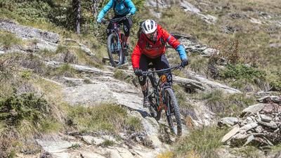
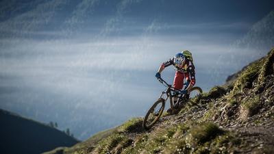
The downhill trail is flowy, but always peppered with tricky sections. After Alp Arpisson, the trail becomes increasingly steep. But as the saying goes? Steep is cool! It gets really cool after a short intermediate section on a gravel road. The path now winds its way through the steep forest like a bobsleigh run. A bobsleigh run full of bends, fun descents, fast sections and trickier sections. The descent is superb and ends at the bottom of the valley at the festival meadow in the village of Valpelline. You cross this meadow, reach a gravel road and follow it out of the valley. A short stretch of road before changing to the Ru Pompillard, the very long water pipeline to Aosta. This section is a gravel road, with the odd section of trail just before the town of Aosta. All in all: a worthwhile alternative to the Zumba Trail.
Note: Since summer 2021, the first part of the Ru Pompillard has been closed due to rockfall (the trail itself is in good condition). It is unclear whether the closure will be lifted again. Until then, the road should be followed as far as Cretaz.
Map & GPX-Track
The map is only available to Ride subscribers.
The Ride-Subscription is available at ride-mtb.com/abo
.
Details of the tour
40 km
1480 m
1480 m
576 above sea level
1900 above sea level
1 day
Aosta
Aosta
2095
well suited
More information
More tours nearby















User comments (1)

About the author: Thomas Giger
Note: This content has been automatically translated from German. Please report any incorrect translations.
We did the tour at the weekend. Unfortunately, Aosta also suffered from the heavy snowfall and water over Easter. From Praperiaz, we had to push the bike most of the way. Fortunately, the forest road from Les Plans had already been cleared, so after three hours under and over fallen trees we finally reached the valley. The trails before Blavy, on the other hand, are all clear and easy to ride.