

Col de Vessonaz

Description
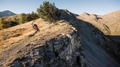
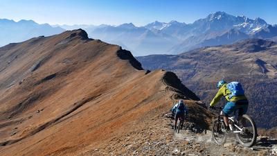
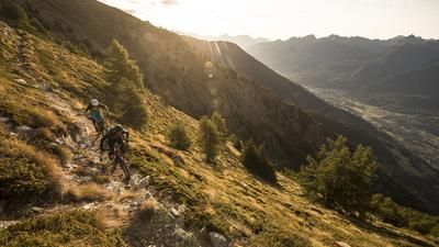
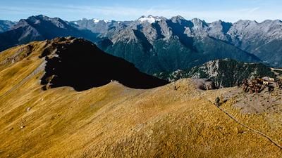
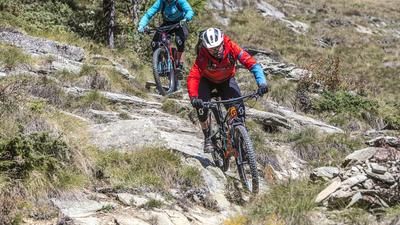
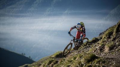
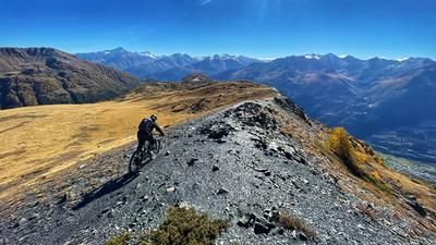
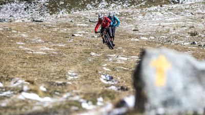
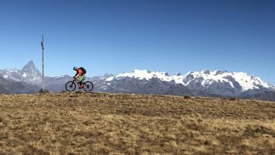
The ascent on this tour starts in the small village of Lignan, around 1100 meters above the valley floor of the Aosta Valley. The ideal way to get here is by shuttle. The route starts on a small road, where you turn left a little after the observatory and follow a gravel road to Alp Chaleby. The road climbs steadily up to Alp Champanement, where the route turns into a single trail. Now the bike has to be carried a little more than 200 meters up to the Col de Vessonaz. The view from up here stretches all the way to Mont Blanc. More interesting, however, is the downhill trail ahead. This leads for kilometers through the Comba Vessonaz into the Valpelline valley. Steep and slippery at first, then increasingly flowing. From the tree line at the latest, it becomes a flowing fun ride. Near the village of Condemine, stay on the left side of the valley and follow the trail to the bridge at Vernosse. Continue unabated on the left side of the valley, but now climb a little on a gravel road until the final trail to Montcorvé begins in Verdignolettaz. Done - now it's time to head back to Aosta. To do this, follow the largely flat Ru Pompillard, which begins just below Valpelline after a short climb. The path used to be continuous above Valpelline, but has been damaged and impassable for several years. Follow this gravel road to Aosta, where there are a few final single trails just above the village.
Map & GPX-Track
The map is only available to Ride subscribers.
The Ride-Subscription is available at ride-mtb.com/abo
.
Details of the tour
40 km
1590 m
2540 m
581 above sea level
2780 above sea level
1 day
Lignan
Aosta
1732
not suitable
More information
More tours nearby













User comments (2)

About the author: Thomas Giger
Note: This content has been automatically translated from German. Please report any incorrect translations.
We parked in Lignan (easy parking) Serious ride! The climb took us 3 hours, the last 3km was all hike a bike, probably 2/3rds carry. Easy ride until then.
Incredible summit.
The first 200m descending is super loose, steep, exposed and difficult.
After that it is rideable, but not easy or flow. Rough, lots of roots and rocks, great descending but hard. Some of the trail has been re-routed after the storm damage. Still singletrack and great but don't panic if gpx is not perfect.
Serious day out, do not underestimate it, the descent was slow and physical which led to a long day out.
As far as Lignan by shuttle! Then forest road to Alp Champanement. From there, it's mostly a carry up to the pass.
I simply didn't have the riding technique for the first 200 Elevation loss, very steep and slippery ..... no matter .... because what follows are endless trails, sometimes flowing, sometimes more challenging. One of the best in Aosta for us 👍
Ridden at the beginning of September 2023