

Col de Brison

Description
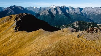
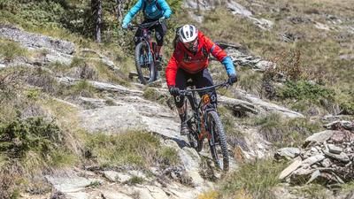
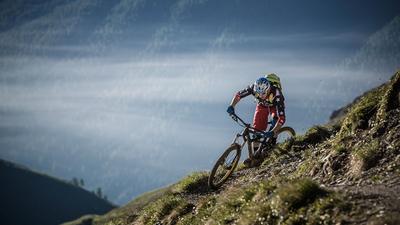
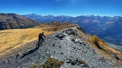
The tour starts at the end of the road in Champillon high above Valpelline. As soon as you're on the saddle, you hit the first singletrail. It follows a flat water pipe, but is also heavily frequented by hikers, especially in high season. Far back in the valley, you then head briefly downhill to the gravel road, on which you pass Alp By and finally reach Alp Balme de Bal. A little above this, you turn right onto a singletrail and follow it, mainly pushing, to Col Cornet, 200 meters further up. The first singletrail descent awaits. The path down to Alpe della Beria is initially steep and bumpy, then becomes more flowy in sections, but also very technical in places. After the alp, the adventure begins. A steep path rides through even steeper forest and meadow terrain for just over 500 meters up to the Col de Brison. At this stage, the bike is almost permanently on your shoulders. The descent from the Col de Brison is initially very technical with tight hairpin bends. However, it becomes smoother with every meter, and after the ruined Alp Bruson l'arpe at the latest, the trail becomes a lot of fun. The path is seldom used, is a little unkempt in places but almost perfectly laid out. It leads down to Alp Breuson, where the final bouquet of the descent awaits. A winding, sometimes technical path - sometimes fast and flowing, sometimes slow and challenging - leads down to the village of Semon. Roll along the road to Valpellina, follow the road towards Aosta for a while and then take the mountain trail along the left side of the valley to the town center of Aosta.
Map & GPX-Track
The map is only available to Ride subscribers.
The Ride-Subscription is available at ride-mtb.com/abo
.
Details of the tour
39 km
1175 m
2670 m
581 above sea level
2511 above sea level
1 day
Aosta
Aosta
1694
not suitable
More tours nearby















User comments (2)

About the author: Thomas Giger
Note: This content has been automatically translated from German. Please report any incorrect translations.
Currently below 2200m the total frustration. The path is completely blocked by fallen trees. Even if you ride towards Chalambé, it doesn't get any better. Time loss of around an hour.
We did this adventure on 25.7.18. The trail from Col de Brison is great to ride, with lots of flow. After Dzone, the trail (3c) disappears. The bridge to Bas Breson is gone. Our alternative was to climb 100 m at Chez les Villes and cross over to Frissonière - Dessous.