

Mont Mary

Description
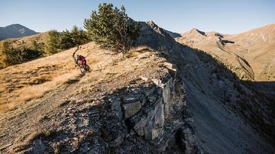
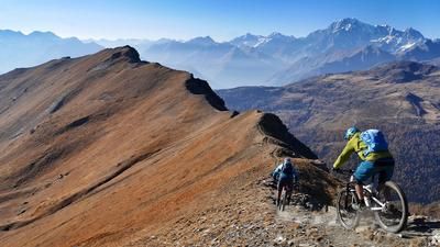
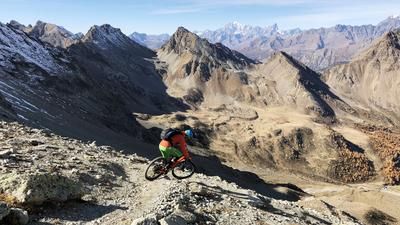
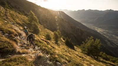
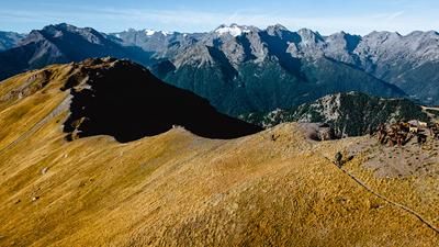
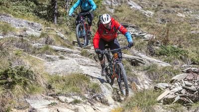
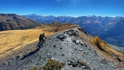
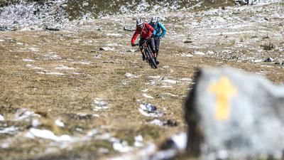
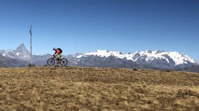
From Aosta, you first ride to St-Christophe and then take a mountain road via Villair to Morgonaz. A gravel road now continues to Alp Preilles at 1800 meters above sea level. A single trail, including a short pushing section, takes you to Alp Planes and then up again on a gravel road. At Alp Cénevé at 2200 meters above sea level, you switch to a single trail and conquer the last 200 meters in altitude. Then the endless downhill fun begins: you pass the Alp Viou and then circle over countless hairpin bends to Blavy. The trail continues a little below, riding downhill curve after curve to Porossan. The final section back to the city center of Aosta rides along an asphalt country road.
Map & GPX-Track
The map is only available to Ride subscribers.
The Ride-Subscription is available at ride-mtb.com/abo
.
Details of the tour
38 km
1910 m
1910 m
558 above sea level
2385 above sea level
1 day
Aosta
Aosta
1558
not suitable
More information
More tours nearby















User comments (3)

About the author: Thomas Giger
Note: This content has been automatically translated from German. Please report any incorrect translations.
I rode my e-bike today. Good, detailed route description. I pushed the bike up the last 200 meters of elevation gain to the start of the descent, but it was doable.
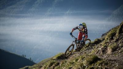
The descent ranges from challenging (at the top) to smooth and flowing (at the bottom). The long climb and the section where you have to push the bike are worth it—the panoramic views and trails make up for everything.
Currently, there are no trees blocking the trails. Thanks to the author.
Currently no trees on the downhill trail!
I am writing this comment immediately after arriving in the valley. Very overwhelmed by the impressions of the tour. I combined the tour with the ascent from https://www.ride.ch/de/touren/mont-mary-zumba-trail. The routes come together in Cénevé. The ascent is long, but easy to ride except for the last 200 meters in altitude. At the highest point of the tour, I climbed another 200 meters in the direction of Mont Mary until I reached the unrideable rocky landscape.
Descent part 1 to about Blavy: Phenomenal, challenging but all good and rideable with flow.
Just below Blavy, the route becomes an official bike route. Flow trail with almost countless hairpin bends. Nice to ride, rather boring after part 1.
Conclusion: In terms of panoramic views and for the first part of the descent, really awesome. Hardly anything comparable to this ride so far. Generally well signposted hiking trail.
Thanks to ride and the authors for this tour.