

Mont Saron (Champillon)

Description
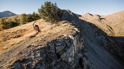
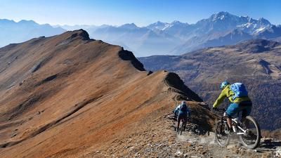
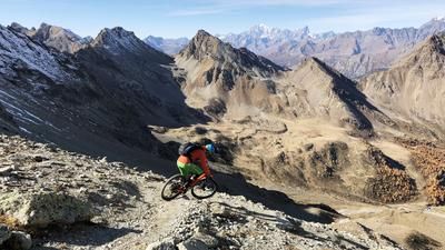
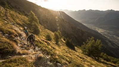
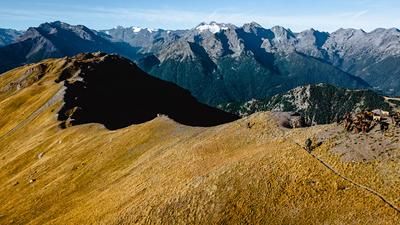
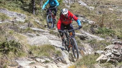
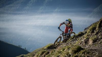
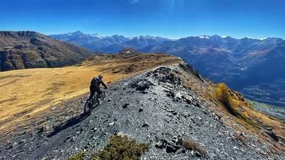
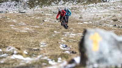
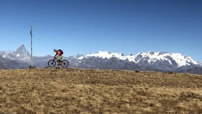
The tour starts at Champillon, a hill far above the village of Doues. A small road leads up to here and it is advisable to take a shuttle for the ride from Aosta. However, the rather long climb can also be mastered under your own steam. From here, you initially roll southwards on a bisse path until a small path branches off to the right on a ridge. But here it's time to shoulder your bike: Shoulder your bike and climb up the path on foot. It's 660 meters up to the summit - a tough and arduous section that rides through very rocky terrain in the upper part and requires good footwear. But the panorama from the summit alone is worth the climb. It's time for the descent: this initially leads through steep meadow terrain, with individual hairpin bends that can only be tackled with a good technique. The further down you get, the better the trail becomes, and a superlative flow trail begins after Alp Fontanin at the latest. The path winds its way through the sparse forest at a gentle incline - almost perfectly designed for mountain bikers. After the Croix de Bruson, it gets a little more technical and finally you reach Etroubles on the road to the Great St. Bernard. From here, a wonderful high-level trail on the right-hand side of the valley rides high above the main road to Arpuilles, and finally you follow several single trails directly into the center of Aosta.
Map & GPX-Track
The map is only available to Ride subscribers.
The Ride-Subscription is available at ride-mtb.com/abo
.
Details of the tour
30 km
795 m
2285 m
588 above sea level
2656 above sea level
1 day
Doues
Aosta
1568
not suitable
More information
More tours nearby














User comments (1)

About the author: Thomas Giger
Note: This content has been automatically translated from German. Please report any incorrect translations.
We rode the route (without a detour to the summit) on July 19, 2025 at the ride camp. Current status regarding fallen timber (after the snow in April): The entire route from Champillon is cleared and rideable.