

Col Bassac

Description
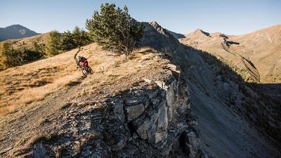
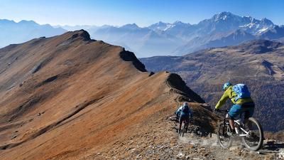
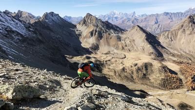
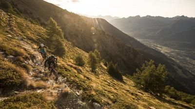
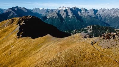
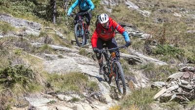
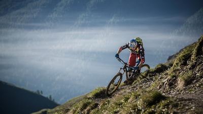
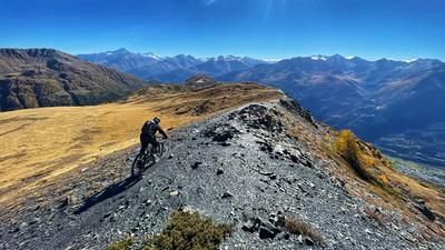
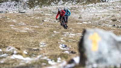
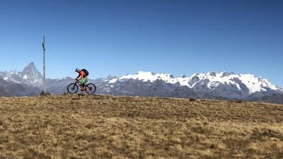
The route up Col Bassac starts from the very back of Valgrisenche at the parking lot at the end of the asphalt road. It is advisable to take a shuttle up to here because the climb ahead is still hard enough. At the parking lot, take the gravel road that rides steeply along the valley floor up towards Rifugio Mario Bezzi. This little road then turns into a singletrail on which the bike has to be carried up to the hut. This is where the ascent really begins. Immediately after the hut, turn left onto a steep path until it becomes temporarily flatter on a moraine. On the last section up to the crossing, however, you have to carry your weight again (250 vertical meters). But the effort is worth it: on the other side of the pass, an excellent single trail rides down into the valley. Although it is high alpine and a little rough and tricky at times, it is easy to ride for experienced mountain bikers. Further down, the terrain becomes steeper, the path is adorned with a few serpentines that are easy to ride, and the trail leads down into the depths. Where the valley floor is already visible, a short traverse through rocky terrain follows. The path is narrow and secured with hand ropes, here the bike has to be pushed a few meters for safety reasons - to then continue the fantastic descent in the same style from the top after the traverse. Finally, you reach the parking lot at the end of the road in Val di Rhêmes, where this world-class descent comes to an end. The route back to the main valley of Aosta is on the road due to a lack of alternatives, whereby you stay on the left side of the valley far below and can take a few more single trails with you as far as Villeneuve.
Map & GPX-Track
The map is only available to Ride subscribers.
The Ride-Subscription is available at ride-mtb.com/abo
.
Details of the tour
39 km
1455 m
2555 m
664 above sea level
3157 above sea level
1 day
Valgrisenche
Trepont
1584
not suitable
More information
More tours nearby















User comments (2)

About the author: Thomas Giger
Note: This content has been automatically translated from German. Please report any incorrect translations.
September 2020, ascent from Refugio Bezzi was unfortunately frustrating. I still found the path that turns left and the section over the moraines. When it gets steeper and the last 200 m of altitude are reached, the path gets lost in a scree slope. I put the bike down and tried to follow the path on foot...but without success. Unfortunately, because I was looking forward to the descent. I could see the pass from below, but considering the steepness of the terrain, I turned back. Back at the Refugio, I spoke to one of the hut keepers and found out that I wasn't the only one who had experienced this... ) :
Ascent in complete solitude (apart from the ibexes) relatively difficult to find. Long pushing and carrying passages.
The descent is awesome, but technically everything is rideable for us. The panorama is also great.
Unfortunately, the descent to the valley floor ends with the return trip on asphalt. No real trail shortcuts are recommended. The alternative on the left side of the valley is not recommended.
Conclusion: A tour worth recommending despite the return on asphalt.