

Colle Leynir

Description
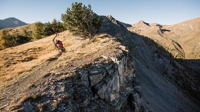
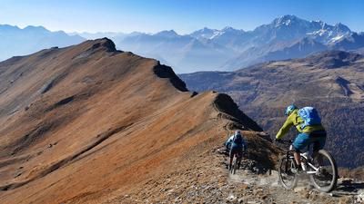
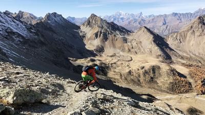
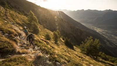
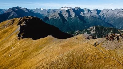
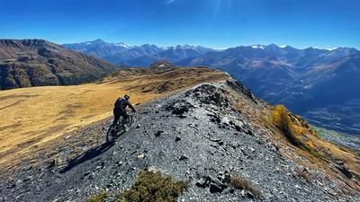
The ascent to Col Rosset starts in Thumel, where the road through the Val di Rhêmes ends and turns into a gravel track. Ideally, a shuttle service will take you up to this point. The gravel road climbs steadily up to the Rifugio Benevolo. From now on, you have to carry your weight. A steep path leads up the mountain on the left. The intermediate section into the Grand Vaudala valley can be ridden again until a mountain path leads up to Col Rosset. Almost 1200 meters in altitude are covered on this path until the steep, technical and, for good riders, very fun descent down to Lago Rosset begins. The next singletrail ascent begins. This time the path can be ridden almost to the top of the pass and leads through a sureal-looking rocky landscape. The descent back to Thumel through the Vaudaletta valley is very challenging, and initially the path is barely recognizable. However, it improves with increasing distance until it finally leads back to Thumel as a beautiful forest descent with many hairpin bends.
Tip: From Colle Leynir, you can carry your bike up to the summit of Taou Blanc (3438 meters above sea level). The descent on the ascent route is completely rideable with the exception of a short section. In this way, the route becomes one of the great experiences that are possible by bike in the Aosta Valley.
Map & GPX-Track
The map is only available to Ride subscribers.
The Ride-Subscription is available at ride-mtb.com/abo
.
Details of the tour
25 km
1710 m
1710 m
1850 above sea level
3099 above sea level
1 day
Thumel
Thumel
1706
not suitable
More information
More tours nearby















User comments (5)

About the author: Thomas Giger
Note: This content has been automatically translated from German. Please report any incorrect translations.
The Col Leynir is officially closed to the Vaudaletta Valley due to a massive rock/landslide. The entire slope below the pass is in constant motion, and further landslides and rockfalls are unpredictable.
A little addendum: Only ride the tour in good weather. The path from col Leynir is difficult to find even with good visibility.
Nevertheless, it was a dream tour.
We did the tour yesterday, including Mont Taou Blanc.
The ascent (mostly on foot) to Col Rosset is worth it just for the beautiful technical descent to Lac Rosset. Simply a blast.
Up to Col Leynir you can pedal up a lot again. Top.
To the summit of Taou Blanc-> one section (15m long) is a bit tricky (carrying uphill and downhill), otherwise highly recommended. The view of Mont Blanc and Gran Paradiso (as well as many glaciers) is stunning. And the descent with a view of the glaciers is probably not an everyday experience either. The summit is regularly visited by bikers.
From Col Leynir to the 2800m contour line, it's a bit tricky. The glacier is melting. And has swallowed up the paths in the process. Lots of loose scree and mud. There is also a short via ferrata passage (iron steps and rope at 20m). The bike has to be put back on the shoulders. After this easy slog, the trail becomes more and more ingenious with lots of stones and many hairpin bends in the forest. Everything is rideable (but sometimes challenging), pure euphoria after this sensational bike mountaineering tour.
Highly recommended if you are not afraid of a little bit ;-)
Trail is open. However, those first 200 meters descent from colle leynir are still very bad. Rocks moving, no actual track, sketchy drilled in metal steps and melting ice on the left. Absolutely doable as a hiker but bad with a bike. I don't mind carrying my bike at all. That's part of "riding" high alpine trails. But i don't recommend colle leynir. The rest of the loop was good with superb views!
Ditte & I did this ride on the 18-08-2018 and found the imediate descent from Colle Leynir (first 200 meters) into Vaudalette very difficult and potentially dangerous. The Vaudalette side of the colle is now a big slip, very steep and loose boulders and rocks that are still moving. The marked track has totally dissapeared. We were very careful keeping a safe and offset distance between us just in case we dislodged rocks, but took almost an hour. There were more slips further down the valley but none are dangerous. There are signs indicating that the track is closed but by the time you get to the colle its a bit two late. Final forestry descent and previously part of the ride is fantastic. The above mentioned slip may have stabilised by now so worth checking with Aosta track people.