

Mont Avril (Aosta)

Description
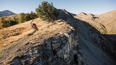
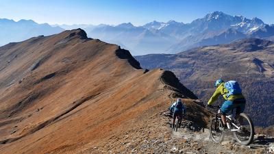
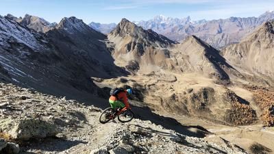
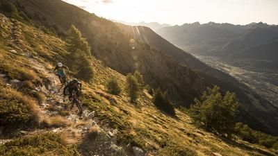
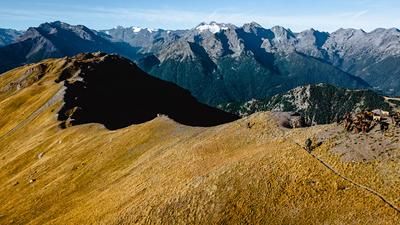
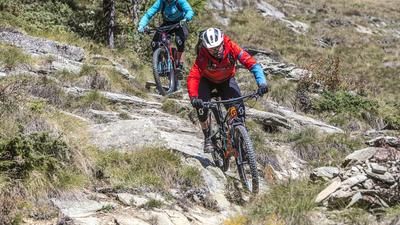
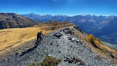
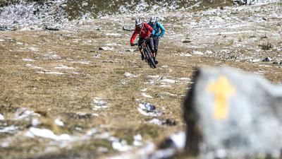
Without a shuttle at the start of the tour, the ascent from Aosta to Mont Avril is hardly a feasible challenge. You can usually take the shuttle to Champillon and then follow the trail along a water pipe. Caution: This trail is very busy with hikers in the high season. At the far end of the valley, take a short downhill trail to the gravel road that leads to Alp Thoules. For the rest of the tour, the bike rests on your shoulders. You pass the Fenêtre de Durand and then fight your way up the steep flank to the summit on the left. 3347 meters above sea level. Mont Avril is one of the highest points in the Alps that can be reached by mountain bike. And the effort is worth it. The descent rides downhill on the ascent route, a fun and steep gravel surfing experience. The more difficult section of the descent begins after the Fenêtre de Durand - continue on the ascent route until Thoules. Once you reach the little road, follow the flowing trail on the left a little later, which rides to the small reservoir. This is where the extremely challenging path to Pont or Glacier begins. The crisp part of the descent is done! On the right side of the valley, you now roll along a water pipe out of the valley, passing a long tunnel (take your lights with you!) and finally reaching Valpelline. The route to Aosta is almost flat, past Roisan to Porossan, and on the final ride to the city center of Aosta, you'll take on a few more short but fun singletrails.
Map & GPX-Track
The map is only available to Ride subscribers.
The Ride-Subscription is available at ride-mtb.com/abo
.
Details of the tour
54 km
1830 m
3325 m
581 above sea level
3324 above sea level
1 day
Aosta
Aosta
1627
not suitable
More information
More tours nearby














User comments (1)

About the author: Thomas Giger
Note: This content has been automatically translated from German. Please report any incorrect translations.
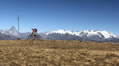
Tough tour, but also beautiful. Beautiful scenery, with a great panorama of Mont Avril.
The descent from Mont Avril is tricky but almost completely rideable for us.
Overall, the descent is technically demanding. There were a few unrideable sections for us, especially after the reservoir.
Conclusion: a long, tough and high alpine tour, but well worth it.