

Pointe de Metz

Description
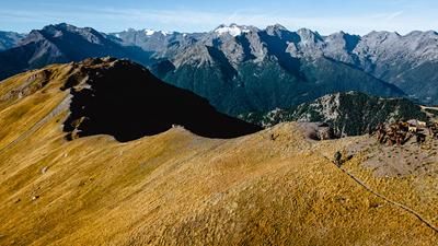
From Aosta, climb up towards Grand Saint Bernard, but then turn left on the outskirts of the town and climb up to Arpuilles. The little road continues until you change to a gravel road at Lin Blanc and follow it to Tsa de Metz. At this alp, 1700 meters of altitude have been mastered, now follows the feat of strength over the Col de Metz to the summit of the Pointe de Metz. The view up here is fantastic. Now the descent begins on trail 7B, where you reach a crossroads close to the ascent route. The descent can also be started from here. Always follow the path downhill, pass Thouraz and finally reach Ville sur Sarre. This is where the wonderful final section begins on the 7- and 6-paths to Pont d'Avison, from where you can return to Aosta on local roads.
Map & GPX-Track
The map is only available to Ride subscribers.
The Ride-Subscription is available at ride-mtb.com/abo
.
Details of the tour
33 km
1950 m
1950 m
592 above sea level
2525 above sea level
1 day
Aosta
Aosta
1562
limited
More information
More tours nearby















User comments (2)

About the author: Thomas Giger
Note: This content has been automatically translated from German. Please report any incorrect translations.
Point de Metz Aufstieg und Becca France als Abfahrt
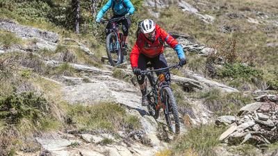
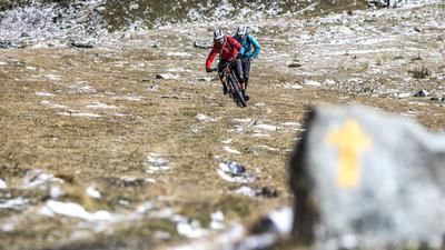
Wir haben uns spontan gegen die Kiesstrasse entschieden und stattdessen den Aufstieg über den Wanderweg gewählt. Oberhalb von Arpuilles kann man entweder der Forststrasse folgen oder über den Wanderweg hoch bis Tzè de Metz pedalen, wo sich die Wege wieder vereinen. Ob das am Ende die klügste Idee war, wissen wir nicht – cool war der Aufstieg aber allemal! Es gab ordentlich Pain, da die Passagen oft steil und technisch anspruchsvoll waren, dafür sparten wir rund 4 Kilometer gegenüber der Originalroute.
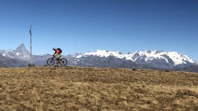
Die letzten 300 Höhenmeter bis zum Col de Metz verlangten uns nochmals alles ab: rund 50 % fahrbar, 50 % Schieben. Der kurze Fussaufstieg auf den Pointe de Metz belohnte uns anschliessend mit einer fantastischen Aussicht!
Die Abfahrt beginnt recht steil und führt durch einen tief ausgefahrenen Trampelpfad. Ein lokaler Biker riet uns vor Ort davon ab, die geplante Route zu fahren, und empfahl uns stattdessen den Trail via Becca France. Der Einstieg ist leicht zu finden, kurz querfeldein ca. 100hm hoch und schon ist man auf dem richtigen Weg.
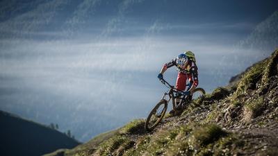
Die Abfahrt über den Becca France ist schlichtweg genial! Allerdings setzt sie eine solide Fahrtechnik und genügend Kraftreserven nach dem harten Aufstieg voraus, damit der Spassfaktor voll erhalten bleibt.
Am Ende summierte sich unsere Tour auf 2'210 Höhenmeter und 41 Kilometer, was sowohl für den Akku als auch für unsere Beine das absolute Limit bedeutete. Wir rollten punktgenau mit 1 % Restakku vor unserem Appartement ein!
Eure eMTB-Cowboys
Die Tour in dieser Variante könnt ihr euch hier als GPX-Datei herunterladen.
https://www.komoot.com/de-de/tour/3338685173?share_token=azCa4CRSyW3K35…
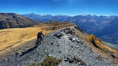
We rode the Tor yesterday. But we had the first 1000m shuttled for 25 euros per person. We then tackled almost the same amount of altitude ourselves. The last 300m were not rideable. At the top you have a great view of Aosta and the surrounding mountains. The trail down is fun and varied. Mostly S2 I would say. With various S1 and some S3 passages. Quite dry and a bit gravelly in places. But cool...! The ascent is worth it. The GPS track has an error in the lower part. It seems as if the navigation system has been switched off in the meantime. Shortly before, a hiking trail turns off to the right. We took this and it went perfectly. When you come back to the road, there is another hiking trail branching off to the left. This was a little more difficult to find. At the bottom, you then rejoin the recorded track.
The tour is definitely recommended. Schuttle is worth it from our point of view.