

Pointe de Chaligne

Description
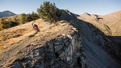
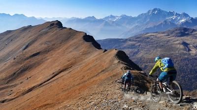
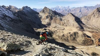
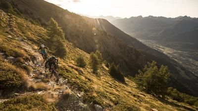
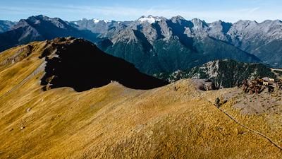
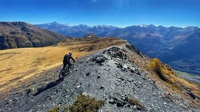
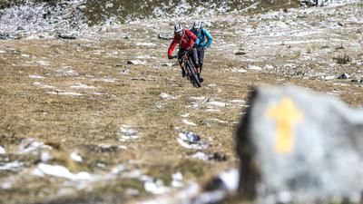
Ideally, you should start the tour with a shuttle ride to Thouraz and save yourself 1000 meters of asphalt ascent. A mountain road leads up to Thouraz on the southern flank of the Pointe de Chalinge high above Aosta. The ascent then turns into a gravel path that leads to the Tsa de Metz. There are now 350 meters of elevation gain to the summit, where the bike must primarily be pushed. The effort is worth it, however, as the following descent over the northern ridge is first-class. It is very technical in one intermediate section, but otherwise the trail is super flowy until you reach the gravel road, on which you climb a little further up to Tsa de Chaligne. A final short walk (100 meters in altitude) is required to reach the start of the trail at the small plateau. A bomb descent follows! Follow the trail with the number 2B. This leads smoothly, quickly but never boringly through the larch forest. Above Ronc Parme, you roll downhill for a while on a gravel road before turning sharp left into the forest after a right-hand hairpin bend and jetting down to Ru Neuf on a flow highway. This high-level trail leads flat to above Arpuilles. From here, you head directly to the historic town center of Aosta on somewhat bumpy single trails.
Alternatives:- Instead of climbing back up to the Tsa de Chaligne on the descent, follow the trail downhill to the Rifugio Chaligne, regain your strength there and reach the descent trail on a short counter-climb behind the inn.
- The tour is often started in Mendey below the Rifugio Chaligne because many shuttles go as far as here. However, those who go as far as Thouraz benefit from an additional 100 vertical meters of shuttle and a sunnier ascent - especially in autumn.
Map & GPX-Track
The map is only available to Ride subscribers.
The Ride-Subscription is available at ride-mtb.com/abo
.
Details of the tour
30 km
1255 m
2300 m
1 day
Aosta
Aosta
1676
not suitable
More information
More tours nearby















User comments (6)

About the author: Thomas Giger
Note: This content has been automatically translated from German. Please report any incorrect translations.
Rode the tour today. Rode up from Gignod, a long but pleasant climb with an espresso break at the Rifugio Chaligne. The trail over the Alpe Nuova has a thumb, but we didn't ride it because someone wrote on Trailforks in May that there were trees in it. We then followed the route from Ride. The trail section before La Coliere is also closed with trees. Otherwise, much of trail 2B is washed out. Everything is easy to ride and lots of trail, but bumpy. Still a very nice tour overall.
Hi, has the routing in the track changed? I remember the trail following the ridge. So over planes. Are there any reasons for this? Am I looking at the wrong tour? Thanks for the help
Is it really not possible to do this tour with a light e-bike (approx. 18 kg)? Do you have to carry it or is it possible with a push aid? On the Ride Map there is a path that branches off to the right from Tza de Metz, so you would skip the Col de Metz and Pointe Caligne. Or would the tour not be worth it? Thanks for your opinions:-)
We were there again and had one with an e-bike (not light) with us. The carrying was limited to very few places. But this time we also came up from the eastern flank so that we did the tsa de metz twice. Shuttle went up to just before Buthier. You can skip the upper part but the summit is really beautiful. From my point of view, however, you don't miss the good part of the descent.
Beware of hot weather and hunger pangs: there are no fountains on the entire tour, unless the Refugio di Chalinge is open for refreshments. The last fountain is in Chavalançon. The restaurant in Thouraz is only open on Sundays.
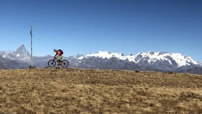
The view from the top is really great. We didn't find the first descent quite so flowy, but there are quite a few passages. We would definitely not shorten the second ascent! It's not that strenuous, but the approach is far too good to eat instead. We parked just above Ville sur Sarre and then later didn't go into Aosta, but took the R41 from Arpuillles back to the car.