

Muchetta-Trail

Description
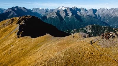
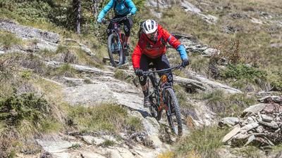
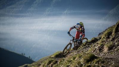
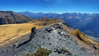
The ideal way to start the tour is to be shuttled up from Aosta to Vétan (1200 meters in altitude). After a short ascent on a gravel road, the first singletrail section follows. In a mix of flowing trails and gravel roads, you roll high above the valley floor to the Col du Mont Joux at the entrance to the Valle di Vertosan. The inconspicuous pass is the start of the great singletrail descent. First, you wind down through the forest to the Ru de Vens, then follow the path along the water pipe to the village of Vens and head onto the 27er trail. Once you reach the Ru de Clavel, follow this high-level trail for a while and then take the winding, fun singletrail down to Saint-Nicolas at Alp Darbelley. The village of Saint-Nicolas is the starting point of the Muchetta Trail: a winding path that rides down to Avise on the valley floor. That's it for the descent, now comes the return trip to Aosta. The first section leads along the main road, but at the village of Leverogne you keep left and follow the riverbank down the valley on gravel paths and single trails until just before Villeneuve. Continue on country roads until you reach the highway entrance, then follow the busy main road for a while before turning right onto the cycle path at the Sarre campsite. This leads directly into the center of Aosta.
Map & GPX-Track
The map is only available to Ride subscribers.
The Ride-Subscription is available at ride-mtb.com/abo
.
Details of the tour
37 km
570 m
1720 m
568 above sea level
1944 above sea level
1 day
Aosta
Aosta
1635
well suited
More information
More tours nearby















User comments (1)

About the author: Thomas Giger
Note: This content has been automatically translated from German. Please report any incorrect translations.
The tour is exactly as described. A dream tour with varied trails and amazing panoramic views. There are also plenty of places to stop for a bite to eat along the way. Highly recommended!