

Colle della Bicocca

Description
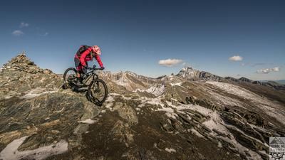
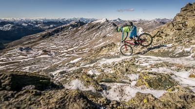
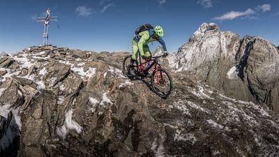
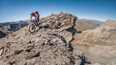
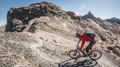
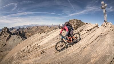
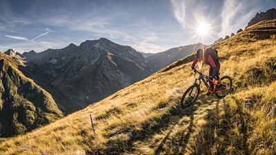
You start in Sampeyre. From here, you cycle uphill on asphalt and later on a forest road with a steady, easy gradient. Tip: If you want to save energy, you can alternatively use the chairlift as a shuttle to Colle di Sampeyre (note opening times!). At Colle di Sampeyre (approx. 2300 meters above sea level), you change from Valle Varaita to Valle Maira and follow the Strada dei Cannoni - a historic, panoramic military road that is one of the most impressive high-altitude trails in the region. With views of the striking Monviso, Monte Pelvo and far into the Piedmontese mountains, the route continues to Colle Terziere and finally to Colle della Bicocca.
This is where the descent begins - initially through open Alpine pastures, later through dense larch forests. The trail winds its way through countless hairpin bends, repeatedly interrupted by root passages and rocky sections. Technically, the route is mostly in the S2 range, but remains easy to ride throughout and offers lots of fun. The destination is Borgata Chiesa, a small, idyllic village.
Important note: The high altitudes around the Strada dei Cannoni are used for agriculture - grazing cattle and shepherd dogs are to be expected. If you encounter them, give them a wide berth on foot.
The way back to Sampeyre leads along a mixture of side roads, trail cut-offs and short asphalt passages, past small hamlets and along paths with little traffic - a harmonious end to an impressive tour.
Map & GPX-Track
The map is only available to Ride subscribers.
The Ride-Subscription is available at ride-mtb.com/abo
.
Details of the tour
40 km
1440 m
1440 m
958 above sea level
2278 above sea level
1 day
Sampeyre
Sampeyre
3586
well suited
More information
No options along the route
More tours nearby





User comments (3)

About the author: Martin Depauli
Note: This content has been automatically translated from German. Please report any incorrect translations.
I did this today. I’ve already done a few of your routes and have often been thrilled. But I’ve never been as disappointed as I was today. The climb up the paved road is pleasant, and the view from the top is good, but compared to other views in the Western Alps, I’d say it’s pretty average. What really disappointed me, though, was the trail. Maybe it’s suffered since the previous reviewer’s comment. At the top, it’s currently being widened with an excavator into a 1.5-meter-wide gravel path. Beyond that, it’s just a washed-out gully full of loose rocks and branches. I’ve been lucky enough to ride so many beautiful trails in the Western Alps, and I discovered some of them only because of your recommendations. Maybe my review will help others avoid frustration, or if someone has a completely different experience, feel free to correct me. During the 2022 Stone King Rally, the trail that runs parallel to it on the right was ridden—perhaps that’s a worthwhile alternative?
There were isolated heavy rainstorms in mid-July, which damaged the trail. The same thing happened in Ceillac. It’s not a bike park—it’s nature.
Great tour—I’d do it again in a heartbeat. The high-altitude trail on the Strada dei Cannoni offers absolutely stunning views. The downhill singletrack is in good condition, a lot of fun, and lives up to the description in the text. Once you reach the bottom, you can skip the detour via Ribiera—the trail there is heavily overgrown. The trails that follow from Posterle inferiore are back in good shape, though.