

Monte Oisternig

Description
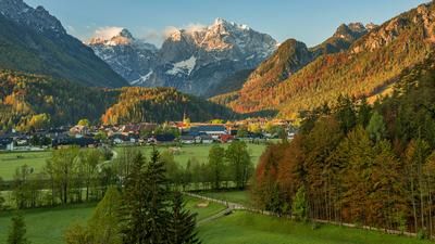
The start is in Ugovizza. Initially on asphalt, the route takes a relaxed ascent along a military road up to the Cappella di Saint Ubertus. A magnificent ascent through gentle grassy hills and along the southern slopes is a highlight, especially in autumn when the vegetation is in color. The route then continues on gravel to the Achomitzer Alm, a few Elevation loss to the saddle and then again on gravel to the Feistritzer Alm on the Austrian/Italian border. From the Feistritzer Alm, you can only make progress by pushing the bike and fight your way up to the summit at an altitude of 2052 meters above sea level. Passing the positions of the Vallo Alpino, you almost feel like you are in the Western Alps. The summit itself offers a magnificent view. From the Julian Alps to Lake Wörthersee, towards Kötschach-Mauthen and the Dobratsch are practically at your feet.
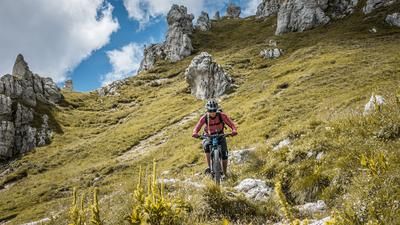
The trail descent is also a real treat. In the upper section along the ascent trail on difficulty levels S2 to S3, you are already relatively well challenged. You then come to the Feistritzer Alm, continue with a counter-climb to the Madonna della Neve and then take a magnificent trail to the Achomitzer Alm. Here the difficulty decreases and is between S1 and S2 before the paths finally split. At the rest area of the Capanna Cima Muli (approx. 1500 meters above sea level) you can turn left to Rio Bartolo and take the Pulcinella Trail (difficulty S2 to S3) or you can use the Arlecchino Trail with difficulty S1 to S2 over the entire ridge and return to the Canal Valley in Camporosso in both variants. At Camporosso, the route then takes you back to the starting point along the railroad line.
Map & GPX-Track
The map is only available to Ride subscribers.
The Ride-Subscription is available at ride-mtb.com/abo
.
Details of the tour
33 km
1410 m
1410 m
764 above sea level
2022 above sea level
1 day
Ugovizza
Ugovizza
2910
well suited
More information
More tours nearby




User comments (2)

About the author: Martin Depauli
Note: This content has been automatically translated from German. Please report any incorrect translations.
Arlechino Trail was perhaps once a beautiful trail descent in the forest. Now the trail has been badly eroded by riders and water and has turned into a deep gully with exposed roots. The last kilometer has become a punishing S3-S4. DAB October 22, 2023
Our BnB is located about 60 minutes by car or train from the starting point of this tour and directly at the trail area of Gemona of Friuli.
https://www.bnb-bondigemona.ch/