

La Porticina

Description
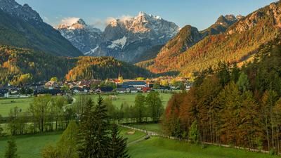
The starting point of the tour is the natural lake Lago di Fusine inferiore. It is advisable to undertake this tour outside the main tourist season, as the crowds of Italians, Austrians and Slovenians in this area can be very large. With breathtaking mountain panoramas and almost paradisiacal water reflections, the route rides steadily uphill on gravel, with moderate gradients, to the Rifugio Luigi Zacchi. This typical Italian refuge, nestled in rugged and bizarre rock formations, marks the end of the rideable section of the tour. The panorama towards the Mangart to the south is breathtaking.
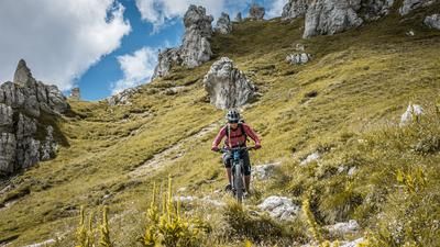
From here, the bike is pushed or carried towards Capanna Ponza, a small forest hut. The route to the start of the trail is partially exposed and has safety features such as ropes and steps, which can be easily mastered with a little skill and surefootedness.
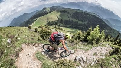
The descent then begins with a difficulty level of S3, which describes the technical level well. In dry conditions, the trail is very flowy and exciting to ride, but in wet conditions, especially on the roots, the level of difficulty increases to S4. It is therefore advisable to plan this tour after a longer dry period and not in late fall. The trail is characterized by hairpin bends, steep descents and some key sections that ride directly to Lago di Fusine inferiore. At the end of the trail, you rejoin the access road and return to the lake where the tour began.
Map & GPX-Track
The map is only available to Ride subscribers.
The Ride-Subscription is available at ride-mtb.com/abo
.
Details of the tour
11 km
690 m
690 m
933 above sea level
1616 above sea level
Lago di Fusine inferiore
Lago di Fusine inferiore
3312
not suitable
More information
More tours nearby





User comments (1)

About the author: Martin Depauli
Note: This content has been automatically translated from German. Please report any incorrect translations.
We tried the hike today. Unfortunately, the trail has collapsed at the spot where you used to have to carry your pack across a ravine. Now the trail climbs 50 meters in elevation over very steep terrain and descends just as steeply on the other side. The trail is narrow; if you’re carrying your pack normally, you’ll get stuck. If you’re sure-footed on a bike in very steep terrain, you can do it. For us, it was too difficult, too dangerous, and too exhausting, so we turned back. The main trail down from the Refugio is too crowded with hikers, and at the top, in any case, there were nothing but steps. A short stretch down the gravel path and then left onto the hiking trail is quite nice. It’s easy at first, then you have to push your bike a bit through a slippery section, and then it’s S2 to S3 difficulty through the steep ledge. It’s quite nice, though it tends to stay damp from dew here, even in the afternoon—but the limestone still offers a bit more traction than usual.