

Patsch (Propain-Trail)

Description
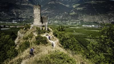
From Laces, the route initially rides along the Venosta Valley cycle path to Castelbello/Kastelbell and then along the mountain road towards San Martino/St. Martin. In the last right-hand bend before St. Martin, take a small road straight ahead to the Egghof farm. Now you are already on the marked 14er route that rides all the way to Schlanders. The little road soon turns into a singletrail, which is challenging to ride at times. After crossing a stream, there is a short uphill section, followed by a few meters downhill on the alpine road until the singletrail descent begins on the left. Follow the 14er trail until just before the village of Schlanders and then turn left onto the Waalweg to Vetzan (number 13). If you still have some energy left, climb up to Vetzan for around one kilometer in the direction of Annaberg Castle and take the 6-person trail for the return trip to Latsch.
Shuttles:
- Taxi shuttles to St. Martin or to Tappein
- Latsch - St. Martin gondola lift
Map & GPX-Track
The map is only available to Ride subscribers.
The Ride-Subscription is available at ride-mtb.com/abo
.
Details of the tour
31 km
1410 m
1410 m
574 above sea level
1742 above sea level
1 day
Latsch
Latsch
1433
well suited
More tours nearby










User comments (4)

About the author: Thomas Giger
Note: This content has been automatically translated from German. Please report any incorrect translations.
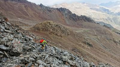
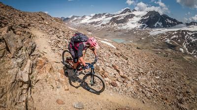
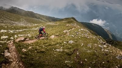
Rode today. The whole thing is signposted slightly differently today. After Vorra-Fora (where there is a restaurant), the trail leaves the road to the left a little later and is now marked "Latscher Panorama Trail", no. 14, black or S3. The trail is quite exposed. At first it follows the elevation curves with little gradient. The stream crossing has now been replaced by a new suspension bridge, which is easy to ride over. After that, the trail is blocked and descends with a gradient.
The S3 rating is correct. You have to be able to ride an S3 safely over a longer distance. Otherwise you will run.
Afterwards you come to the road and after a short section to the "Flypsi Trail", red or S2 and really much easier than the previous one.
Where the Flipsy Trail meets the asphalt road for the last time in a sharp bend, I recommend riding on this road to Goldrain. On the lowest part of the Flipsy Trail, there are repeated closures due to crossbars because of the conservation area and some passages are barely rideable.
One more note about the cable car: it's a small cabin. It is full with 6 bikes + bikers.
The cable car takes bikes:
1.11.-28.2. all day
1.3.-31.10: 7.00-08.30 and 15.00-18.00
As this can change, you should check online beforehand.
And the Latsch Panorama Trail has the number 140 (not 14)
We rode the tour today - everything was great!
The Panoramaweg has a few quite difficult, steep short challenges.
The GPX track probably shows an old version of the Propaintrail. This is now forbidden. The new Propaintrail is shaped and too flowy in places for my taste.
All in all, a nice tour.
We rode the tour today, the tour is actually nice, the Propain Trial is fun and is a good S2 trail, but not a natural trail. The ascent is easy to do, everything is asphalted, at the top you take the Panorama Trail, this is not recommended, much harder to ride than indicated (S2). also the trail is closed due to a huge rockfall so I recommend to take another ascent and then start directly into the Propain Trail - so you have more fun in any case! Btw. the actual tour does not have 1410hM but a whole 1772hM.