

Monte Covria
Description
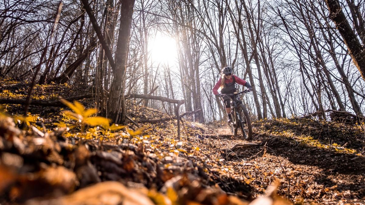
The tour starts in Peonis. Initially, the route follows the main road and later climbs steadily uphill on asphalt on the Cjanet-Cuel di Forcja Uphill. A good half of the ascent is mainly on a road that is closed to traffic. At the parking lot, you have two options for climbing to the summit. Take the old, partly overgrown military road to the summit cross of Monte Covria or the Strada Forestale and then push up the trail. At the summit you have a fantastic panorama to the south. The Tagliamento towards Osoppo, San Daniele del Friuli and Monte di Ragogna.
The descent starts with a roll-in phase between difficulty S1 and S2. This remains relatively long in this manner and continues onto the so-called Avaginaz Enduro Trail. This trail has sections with S3 and S4 difficulty, especially in the lower section. You then come to a small hamlet called Planecis and follow the Rio Sech. The former mule track is unfortunately somewhat obstructed by scree in places, but is technically challenging. In the upper section, at difficulty levels S3 to S4, it becomes less and less challenging at the bottom and turns into a flow route at difficulty levels S0 to S1. After that, the route continues on asphalt for a few meters before the last trail cut-offs on S1/S2 lead to Peonis.
Map & GPX-Track
The map is only available to Ride subscribers.
The Ride-Subscription is available at ride-mtb.com/abo
.
Details of the tour
21 km
930 m
930 m
189 above sea level
1126 above sea level
1 day
Peonis
Peonis
2879
limited
More information
More tours nearby




User comments (1)

About the author: Martin Depauli
Note: This content has been automatically translated from German. Please report any incorrect translations.
Our BnB is located about 20 minutes by bike from the starting point of this tour and directly on the trail area of Gemona of Friuli.
https://www.bnb-bondigemona.ch/