

Monte Pala
Description
The start is in Casiacco near the Torrente Arzino. Without much of a warm-up, the route climbs relatively steeply uphill on asphalt to the main road of Via Anduins. You only use this road briefly and then pedal on to Vito d'Asio and then through the typical Italian village of Clauzetto. From Clauzetto, the route continues on asphalt for a few more meters before finally turning right towards Monte Pala. The last few meters of the uphill run partly on gravel, partly on asphalt at a medium and moderate gradient, ending at the rest area at Malga Polpazza. A perfect place for a summit snack and a fantastic view of the surrounding mountains.
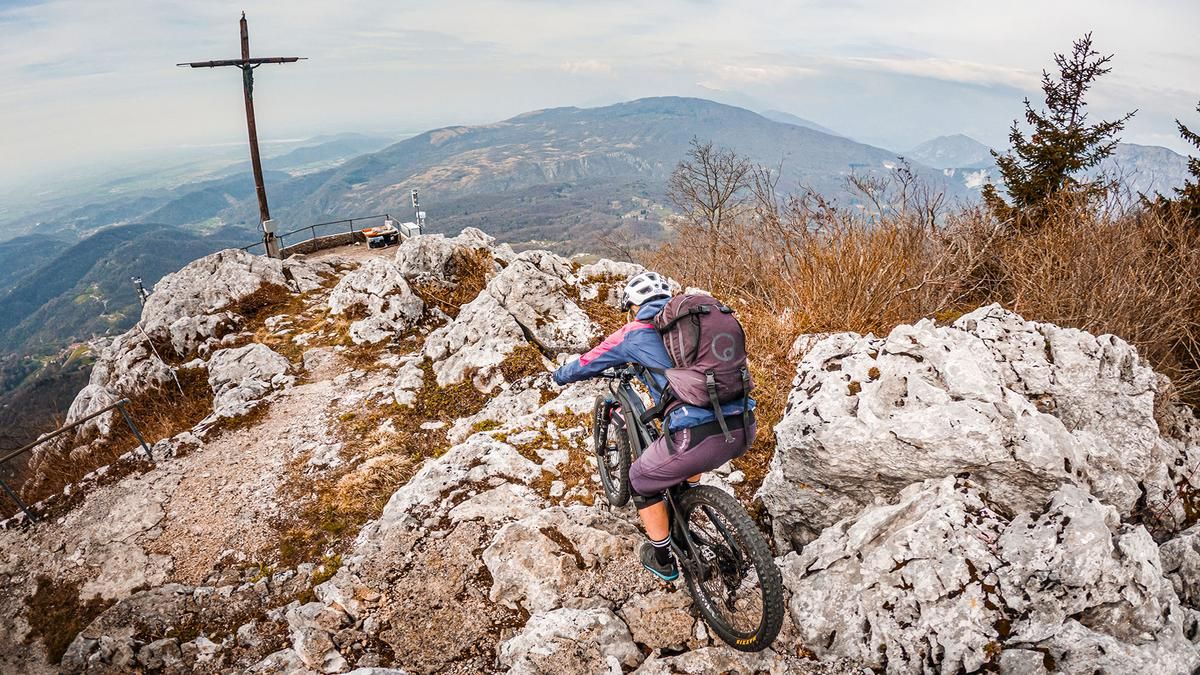
The descent runs in the upper section directly next to the gravel road. Initially relatively easy at difficulty levels S1 to S2, it leads up to Monte Pala da Ropa di Pradis to the viewpoint at almost 1100 meters above sea level. After that, the path suddenly becomes difficult. At difficulty level S3, the trail leads steadily downhill towards Corona on countless hairpin bends, rock faces and steep steps. In Corona, the trail becomes a little easier again and finally turns into a cart path, which becomes a multi-terrain trail at the church and rides back to Vito d'Asio. Shortly through the village center, another trail section begins on difficulty S2, which completely circles the slopes and creates a lot of trail meters with a relatively low gradient. In this style, the trail leads back to the starting point with a few key sections that are very bike park-heavy and dominated by motocross bikes.
Map & GPX-Track
The map is only available to Ride subscribers.
The Ride-Subscription is available at ride-mtb.com/abo
.
Details of the tour
20 km
990 m
990 m
166 above sea level
1150 above sea level
1 day
Casiacco
Casiacco
2847
well suited
More information
More tours nearby




User comments (0)

About the author: Martin Depauli
Note: This content has been automatically translated from German. Please report any incorrect translations.