

Cima della Mandria – Darkside

Description
The tour starts away from the hustle and bustle in Alano di Piave and initially leads steadily uphill on asphalt along the Via Monte Tomba towards Monte Tomba. The ascent is pleasant and even and ends in the upper section directly on the ridge, from where there are impressive views to the south as far as the Mediterranean Sea.
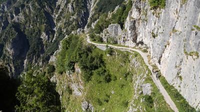
The route continues on the SP141, past the war memorial below Monte Palon, to Malga Piz. The panoramic high-level road takes a relaxed route to Malga Vedetta and finally, in a sharp right-hand bend, up to Cima della Mandria. This striking point with a small chapel is completely isolated and offers a breathtaking panoramic view of the Venetian Prealps thanks to the lack of vegetation.
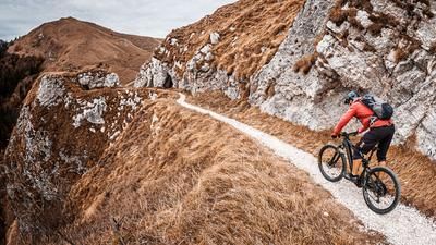
The descent begins on Sentiero CAI 212 and initially leads relatively smoothly along the ridge to below Malga Piz. The route then climbs slightly in cross-country style before becoming more challenging and leading towards Monte Palon with difficulty S2-S3. There you come across the remains of former wartime buildings and have to find a suitable route, which can be tricky in places. With a bit of skill, however, you can enjoy an interesting descent to the war memorial, where numerous relics from the First World War can be seen.
The route then crosses the high trail in the direction of Malga Barbeghera and meets the CAI 840. This section runs as a well-maintained mule track directly to La Fossa. From there, the route leads across meadows into the next trail section, which suddenly becomes more challenging. On the CAI 840 La Fossa, difficulty S2-S3 is required to master the descent cleanly without putting your feet down. In between, you have to briefly switch to the road.
Particular caution is required on the last section of the descent, as it is partially overgrown with thorns and bushes in the summer months. Finally, you cross a watercourse and tackle a short ascent before returning to the starting point in Alano di Piave.
Map & GPX-Track
The map is only available to Ride subscribers.
The Ride-Subscription is available at ride-mtb.com/abo
.
Details of the tour
22 km
1160 m
1160 m
Alano di Piave
Alano di Piave
3398
well suited
More information
More tours nearby











User comments (0)

About the author: Martin Depauli
Note: This content has been automatically translated from German. Please report any incorrect translations.