

Monte Barbaria

Description
The starting point of the tour is Valdobbiadene. From here, the route climbs steadily up the southern slopes on asphalt for a good 13 kilometers at a medium gradient to Pianezze di Valdobbiadene. You then briefly leave the asphalt surface and continue on gravel and small trail sections before returning to asphalt until you reach Monte Barbaria. The end is at Malga Barbaria. This mountain pasture, which is not open all year round, is the highest point of the tour.
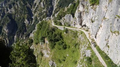
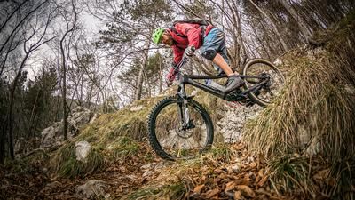
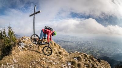
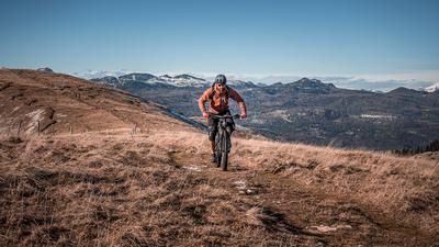
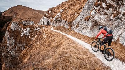
The route then continues south along the Strada Fagheron to the summit. A single trail with difficulty S1/S2 leads down to Pianezze di Valdobbiadene. There are plenty of panoramic views here. To the south, you have a view of the Veneto plains and the Mediterranean and to the west of Monte Grappa. The descent essentially remains in this style and leads along the entire ridge on loose gravel (limestone/karst), some roots, rock faces and very flowy forest sections down to the starting point.In view of the orientation of the location and the sometimes high temperatures, the tour is only recommended to a limited extent in summer, whereby the vegetation can also be very obstructive in the lower part due to the thorns.
Map & GPX-Track
The map is only available to Ride subscribers.
The Ride-Subscription is available at ride-mtb.com/abo
.
Details of the tour
22 km
1170 m
1170 m
258 above sea level
1402 above sea level
1 day
Valdobbiadene
Valdobbiadene
3140
well suited
More information
More tours nearby







User comments (0)

About the author: Martin Depauli
Note: This content has been automatically translated from German. Please report any incorrect translations.