

Monte Fior – Giro Grande

Description
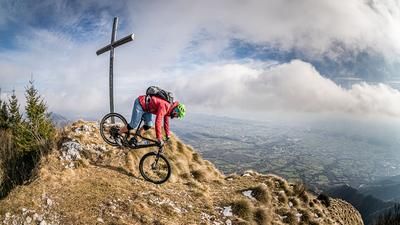
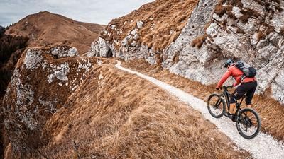
This extremely long and challenging loop starts in Valstagna. At the beginning, the route takes you up the old military road on asphalt with countless hairpin bends towards Foza. From Foza, you then wind your way through the forests, which were damaged by the strong winds of 2018, to Monte Miela and then on gravel and steep roads almost to the summit of Monte Fior. The last few meters are on trail, but relatively easy to pedal. On Monte Fior itself, you have a breathtaking panorama when visibility is good, which is a typical sign of the Asiago plateaus.
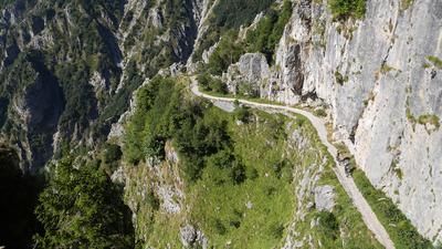
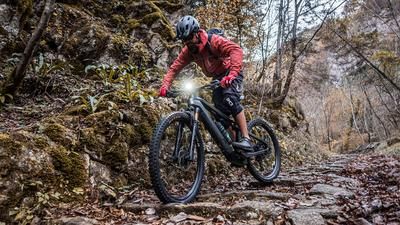
Now the descent begins. The route leads back to Monte Spil and then briefly on gravel to Malga Montagnanova. This is followed by a fairly challenging trail with difficulty levels S2 to S3 and some old military buildings down to Foza. You continue along the main road and reach the highest bridge in Italy, the Ponte Valgadena. Bungee jumping is also offered here. The route continues up and down in this manner until you reach the small village of Valgoda, where a breathtaking mule track winds its way down the southern slopes. The difficulty level here is S1 to S2 and you finally arrive at the Fiume Brenta and then have a leisurely roll out along the stream back to the starting point.
Map & GPX-Track
The map is only available to Ride subscribers.
The Ride-Subscription is available at ride-mtb.com/abo
.
Details of the tour
52 km
1900 m
1900 m
148 above sea level
1791 above sea level
1 day
Valstagna
Valstagna
3136
well suited
More tours nearby








User comments (0)

About the author: Martin Depauli
Note: This content has been automatically translated from German. Please report any incorrect translations.