

Malga Fredina
Description
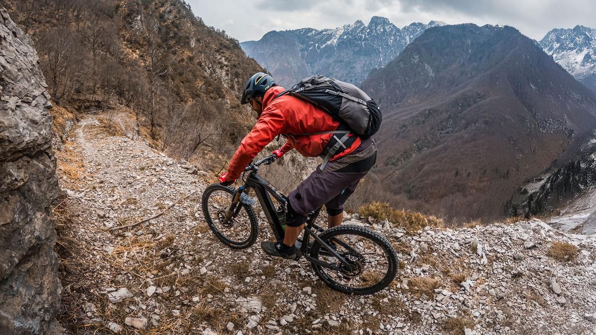
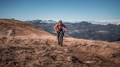
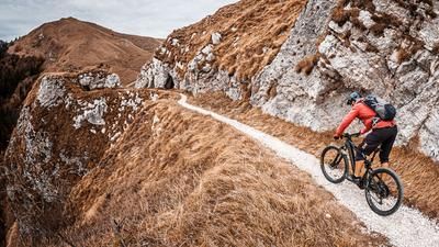
The ride begins in Rocca d’Arsié. From there, the route offers spectacular views as it winds along the eastern side of the Lago di Corlo gorge. A somewhat challenging gravel path then leads steadily uphill to Strada Provinciale 148 Cadorna. From this point, the route returns to asphalt and, with moderate gradients, reaches the highest point of the tour, Malga Fredina at 1,309 meters above sea level, just below Monte Fredina. The view here is well worth the effort, as you’re riding above the tree line—in a clearing—and thus experience a wonderful transition.
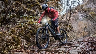
Then the descent begins. The ride flows smoothly downhill through spruce forests and largely wooded terrain on loose gravel. In the lower section, the gravel mixes with leaves as you wind your way down an old mule trail directly to Lago di Corlo. The difficulty ranges from S1 to S2 in places, offering very smooth downhill sections. Finally, you reach the small village of Corlo, built in typical Venetian style, and ride leisurely along the lake back to the starting point.
Map & GPX-Track
The map is only available to Ride subscribers.
The Ride-Subscription is available at ride-mtb.com/abo
.
Details of the tour
17 km
1030 m
1030 m
272 above sea level
1277 above sea level
1 day
Rocca d’Arsié
Rocca d’Arsié
3681
well suited
More information
More tours nearby







User comments (0)

About the author: Martin Depauli
Note: This content has been automatically translated from German. Please report any incorrect translations.